Barbate, Cádiz — Mijas, Málaga
EN- 01Barbate, Cádiz · 13:26
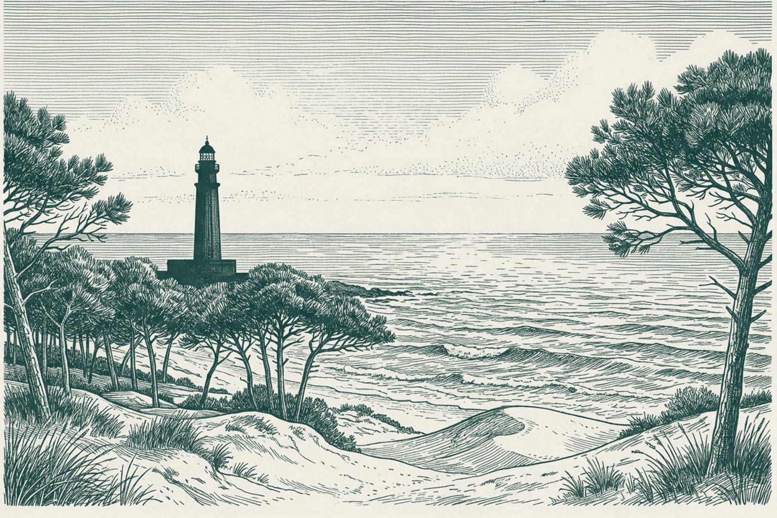
Barbate, Cádiz The legacy of Cape Trafalgar
It is a pleasure to see you returning to this stretch of the Andalusian coast. Beyond the village, the waters here hold the memory of the immense struggle that took place on October 21, 1805. It was here, off the treacherous rocks of Cape Trafalgar, that the British Royal Navy under Admiral Horatio Nelson faced the combined fleets of France and Spain. The battle reshaped the naval power of Europe, leaving a profound mark on the history of the Straits of Gibraltar, known to the Romans as Fretus Herculeum and to the Arabs as Boughaz el Tarek. This coastal area, while serene today, served as the silent witness to the final moments of a conflict that defined an era of maritime warfare. The currents near the cape continue to flow past the site where these historic ships once maneuvered.
- 0213:27
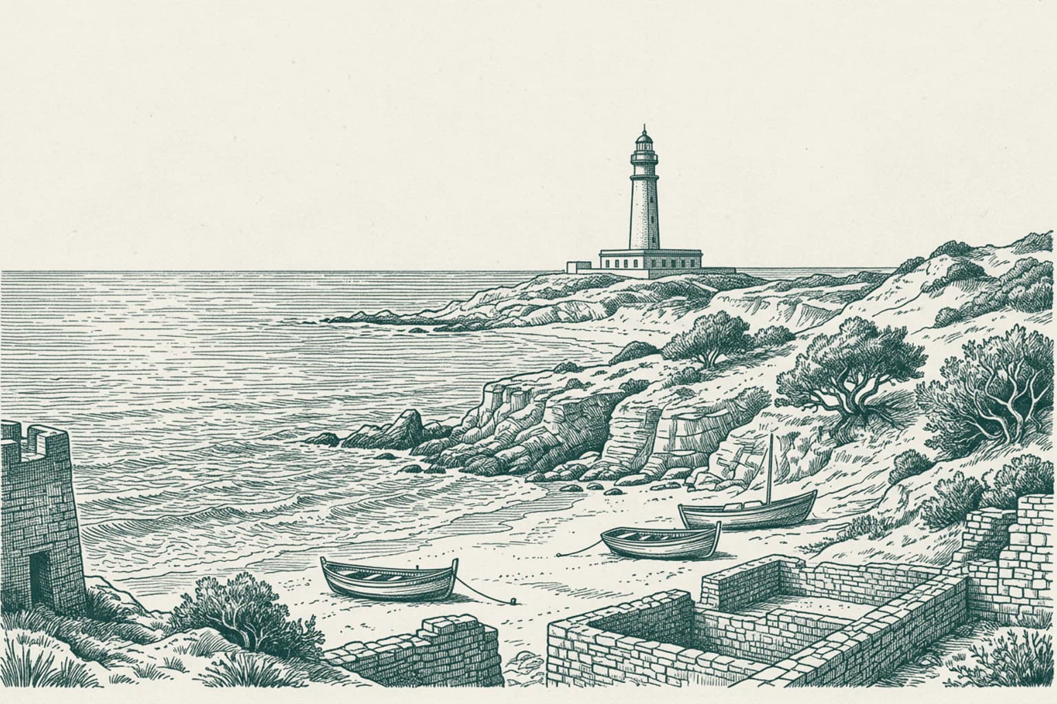
The Ancient Origins of Mijas
To understand the white-washed slopes you are driving toward, you must first strip away the modern resorts and look back to a time when the soil itself was the most precious currency. Long before the tourists arrived, Mijas was not a destination; it was a fortress carved into the mountainside by the Tartessians. They saw value in the earth that others would fight for centuries to possess. Phoenicians and Greeks followed, drawn by the mineral wealth hidden in these hills, their presence immortalized in the ancient geographies of Ptolemy. When the Romans arrived, they called this place Tamisa, establishing a network of trade that linked these rugged heights to the wider Mediterranean world. Yet, the true test of this land was not just in its resources, but in its ability to adapt to the shifting tides of power. As the Roman era faded, the Visigoths took control, only to yield to the Moors in the eighth century. Under Moorish rule, the settlement was transformed. They did not erase the past; they refined it, shortening the name Tamisa to Mixa, the linguistic seed from which the modern name Mijas would eventually bloom. They established a delicate balance, allowing the inhabitants to keep their customs and faith in exchange for a portion of their agricultural bounty. It was a time of relative stability, yet the strategic value of this high ground made it a target for every ambitious ruler in the region. The village became a pawn in the power struggles of the Emirate of Córdoba, falling to the rebel leader Umar ibn Hafsun before being reclaimed by the forces of the Caliphate under Abd al-Rahman III in the late ninth century. The stakes were simple: hold the mountain, control the coast, and survive the next invader. The village stood as a sentinel, its walls bearing the scars of these early conflicts, waiting for a much darker storm that would test its loyalty to the breaking point. The architecture of the present day, those famous white walls that reflect the relentless sun, are built upon the very foundations laid by these ancient civilizations, each layer of history hidden beneath the lime-wash that protects the village today. You are approaching a town that has been shaped by thousands of years of survival, and the echoes of those early days still linger in the mountain air.
- 0313:27
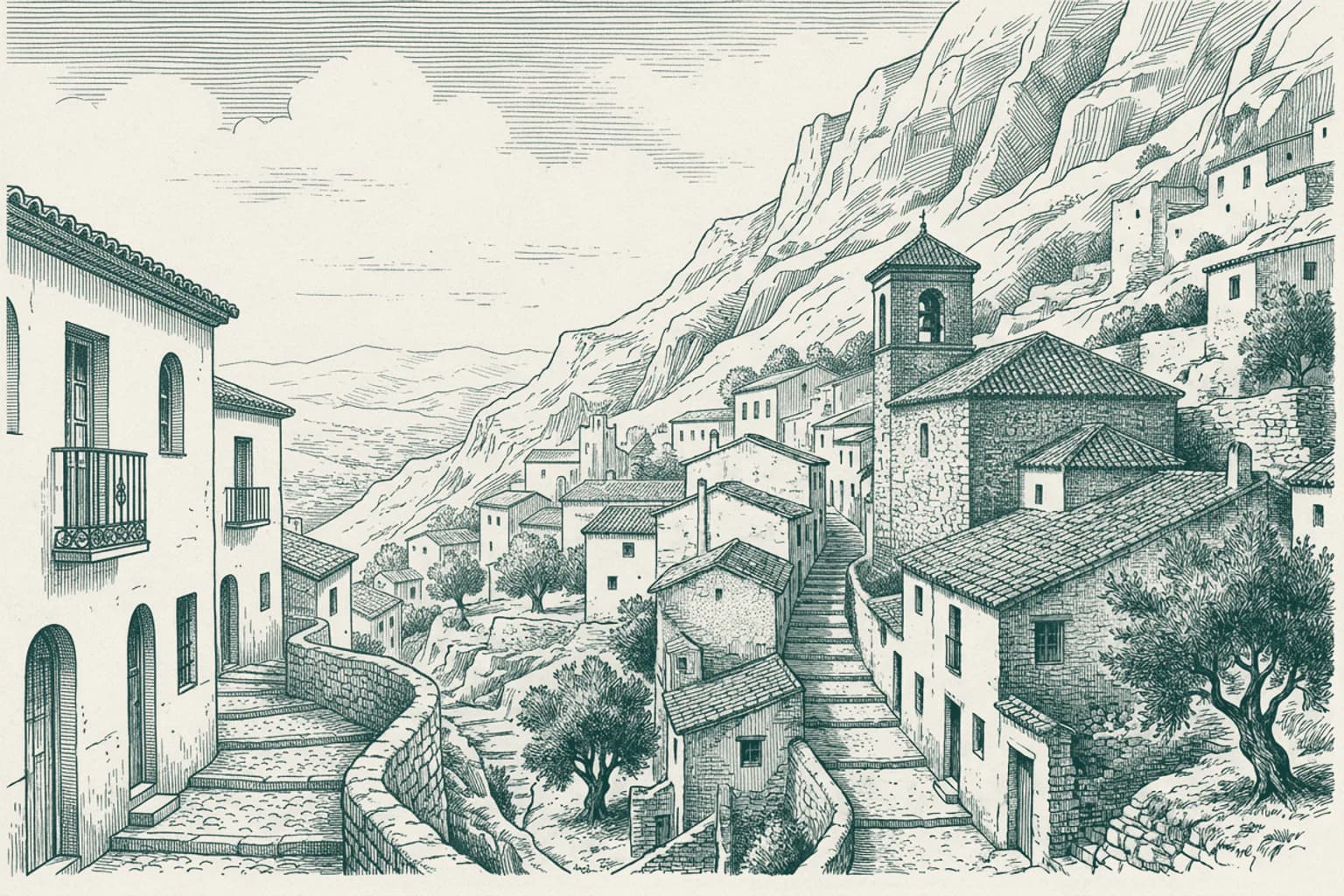
The Resilient Spirit of Mijas
But let us return to our story, for the history of this hillside haven was far from peaceful after the Moors left their mark. As the Catholic Monarchs advanced in 1487, Mijas endured the brutal siege of Málaga. Resistance was met with harsh consequence; the town fell, and its people were largely sold into slavery. Yet, in the shifting tides of power, Mijas found a strange, enduring loyalty. During the Revolt of the Comuneros, the town stood firm with the Spanish Crown, earning the title of Muy Leal, or Very Loyal. This act of fealty brought a brief respite under Joanna of Castile, who granted it the status of a villa, exempt from royal taxes. But peace was a fragile commodity. For centuries, the coast remained a theater of terror, plagued by incessant pirate raids that forced the inhabitants to construct the watchtowers that still haunt the horizon today, silent sentinels of a fearful past. The 19th century brought a different kind of struggle. The agricultural wealth of the region, once defined by flourishing grape vines, was utterly obliterated by the Phylloxera plague. Hope flickered in the mid-1800s with the arrival of paper-makers from Valencia and carpenters from Alcoy, who established mills in Osunillas, creating functional links that sustained the local economy. Yet, the land remained a place of dramatic political upheaval. On December 2, 1831, General Torrijos landed on the beach of El Charcón with fifty-two men. They trekked through the rugged landscape of Mijas, seeking refuge in the mountains, only to be betrayed and eventually executed on the beaches of San Andrés. The isolation of the village seemed absolute, broken only by the sluggish arrival of modernity. A road finally connected Mijas to Fuengirola in 1873, ending decades of administrative segregation, yet deep-seated isolation persisted. Well into the 20th century, the town lacked basic infrastructure; there was no phone service until 1953, and the population lived in scattered, humble shacks, struggling against the harsh realities of post-war hunger and unemployment. Even the traditional harvest of esparto grass withered under the weight of relentless droughts, leaving the village to cling to the mountainside, a place where time seemed to have stopped. It was a landscape defined by hardship, where the army found support and the echoes of anti-Franco operations lingered in the shadows of the sierra, waiting for the world below to finally notice them.
- 0413:27
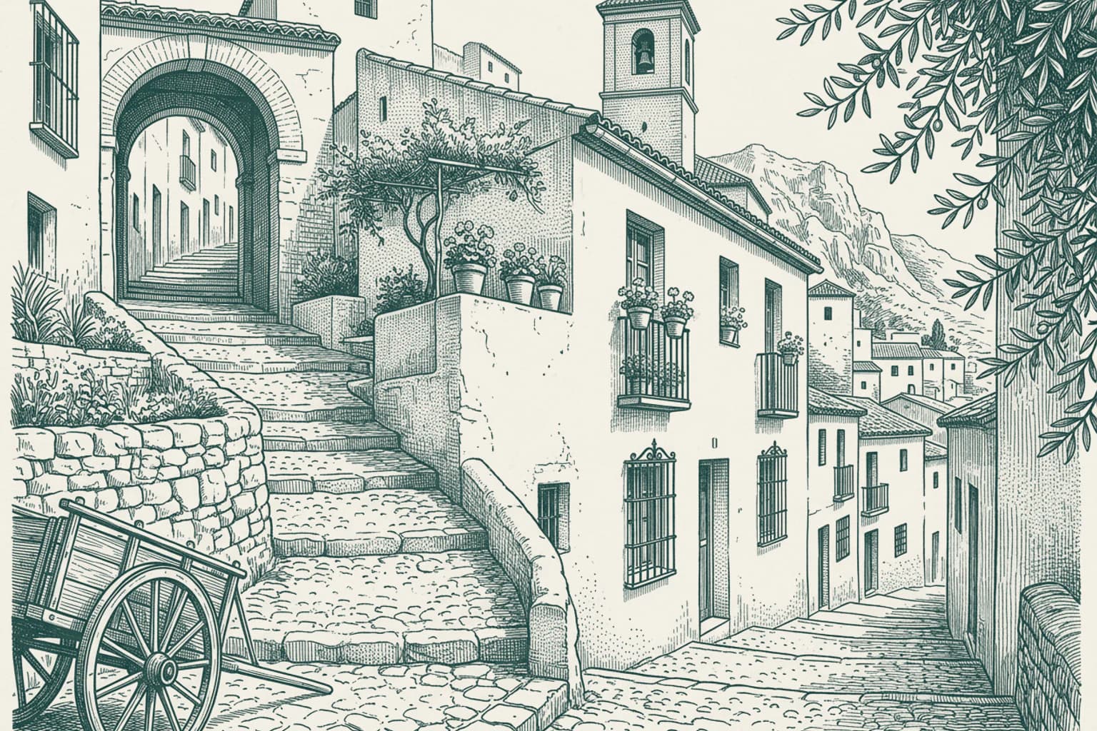
The Transformation of Mijas
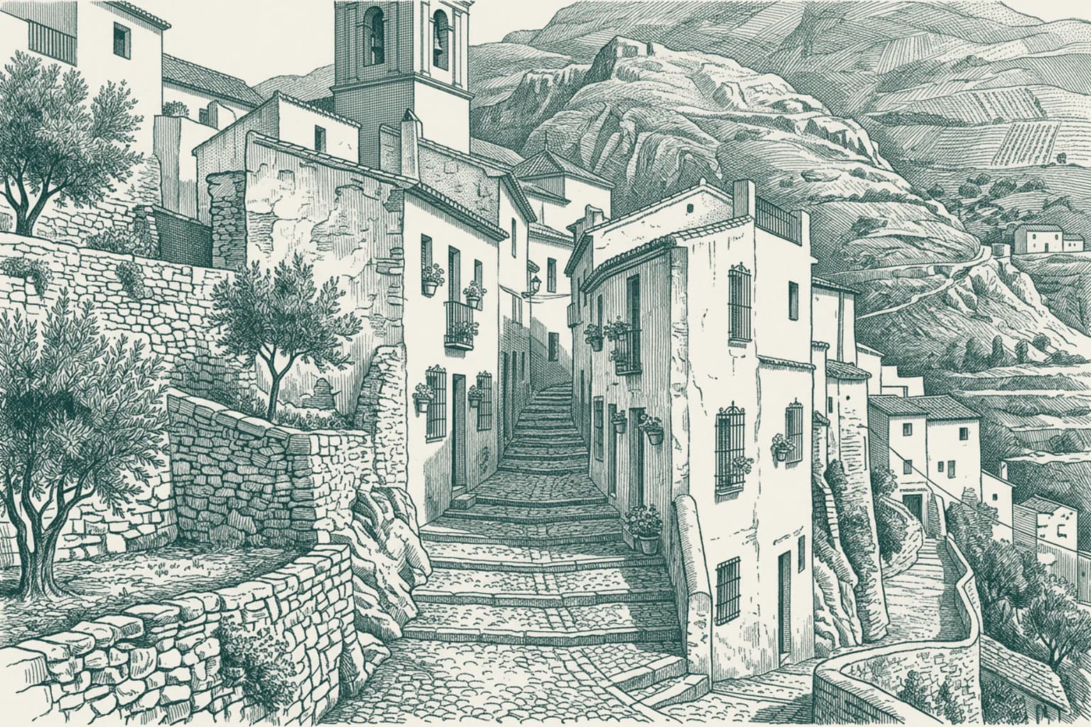
But we must return to our story, picking up the thread where the quiet isolation of the mid-twentieth century meets the dawn of a new era. For decades, Mijas had been defined by the struggle of its people—a community clinging to the mountainside, relying on small-scale farming and the labor-intensive harvest of esparto grass, often under the shadow of drought and post-war hardship. The village was a world apart, still lacking basic infrastructure like telephone service until 1953, with life scattered across isolated smallholdings. Yet, the very geography that had once served as a sanctuary for those resisting authority began to draw a different kind of attention. The 1950s acted as a catalyst for a radical metamorphosis. As the fame of the Costa del Sol began to spread, the local administration sought to combat persistent unemployment by inviting modernization. An asbestos factory emerged as a flicker of industrial hope, but the true tide turned with the construction of the first small hotel. This was the spark that ignited the transformation of a rural agricultural cluster into a cornerstone of regional tourism. The landscape shifted beneath the feet of the locals; the quiet, scattered farming communities of La Cala and Las Lagunas saw an explosion of urban residential development, effectively birthing the expansive suburban and coastal nuclei that define the municipality today. Where once there were only nineteen farming families in the coastal village of La Cala, new cities began to rise. This shift from a life of survival and manual labor to one driven by the global service economy and the allure of the Mediterranean climate redefined the very identity of the region. Today, Mijas stands as a unique tapestry of three distinct worlds: the traditional, white-washed mountain village of Mijas Pueblo, the bustling suburban heart of Las Lagunas, and the seaside resort life of Mijas Costa. It is a place where seven golf courses now sprawl across land that once yielded only cereals and avocados, and where the echoes of ancient Tartessian foundations and Moorish history are carefully preserved in museums for the thousands of visitors who arrive annually. The isolation of the past has been replaced by a seamless integration into the modern Costa del Sol, yet the village remains anchored to its hillside, still painted in the protective, brilliant white lime that has defined its silhouette for centuries. And it is precisely there, into this blend of ancient resilience and modern vibrancy, that you are driving right now.
- 0513:29
Echoes of the Atlantic Coast
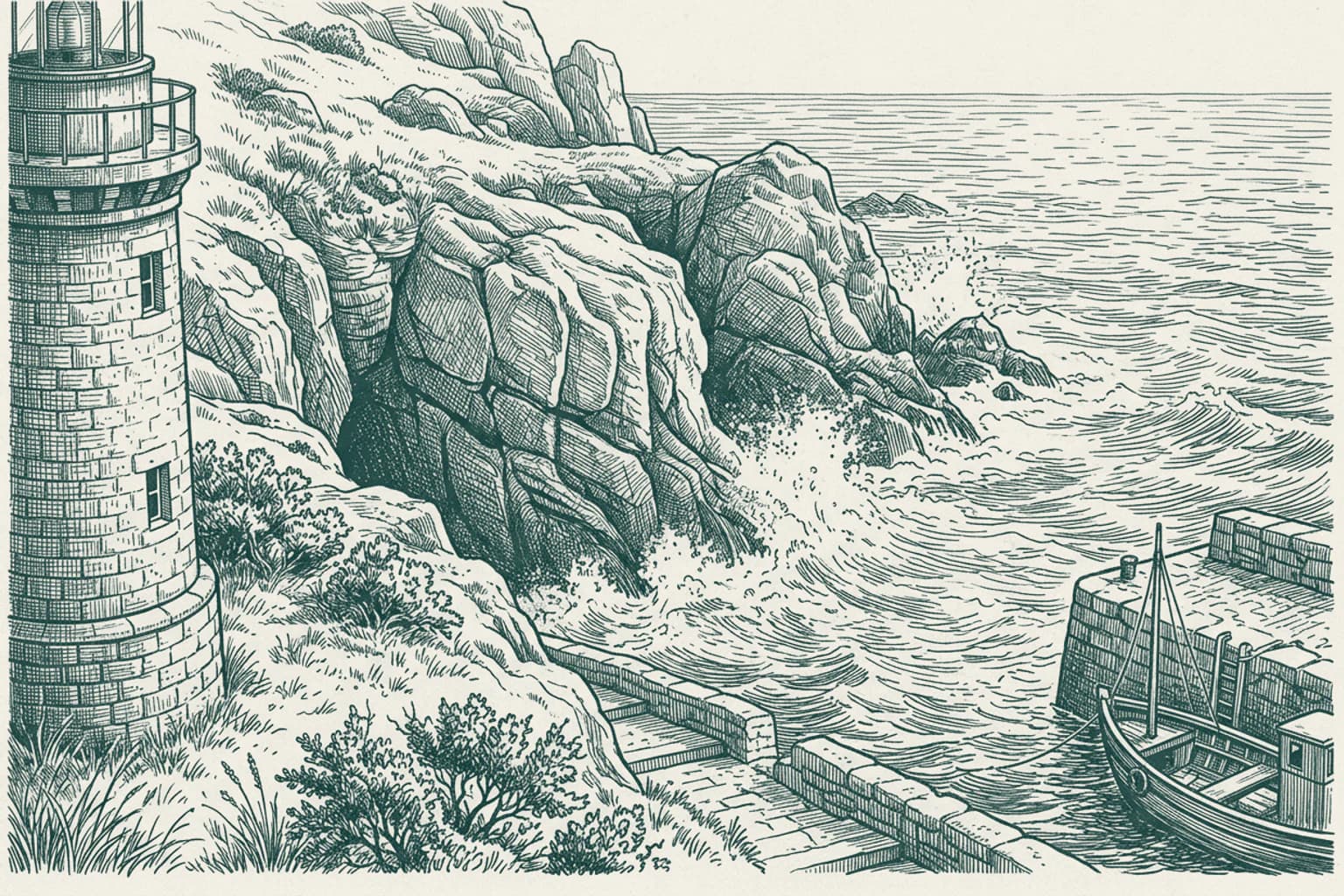
As you leave the quiet streets of Barbate behind, the scent of the Atlantic lingers in the air, a constant reminder of a town defined by the rhythm of the tides. To understand Barbate is to look past its modern appearance and see the layers of history etched into this stretch of the Andalusian coast. You are traveling through a landscape that has served as a silent witness to the most transformative moments in naval history. Just a short distance away lies Cape Trafalgar, a name that echoes with the gravity of October 21, 1805. It was here, off these very shores near the village of Los Caños de Meca, that the Battle of Trafalgar reshaped the balance of power on the high seas. Admiral Horatio Nelson’s victory in those turbulent waters remains a defining point in the memory of this region, forever linking these quiet, sandy beaches to the grand narratives of empires. Yet, the history of this place is older than any fleet. It stretches back to the Roman era, when the settlement, often identified as the ancient Baessipo, mastered the art of fish salting. This ancient connection to the sea persists today; you can feel it in the deep-rooted pride of the local fishing community and the annual celebrations dedicated to the bounty of the ocean. Even the landscape itself, with the Tower of Tajo standing as a guardian of the coast, tells a story of constant vigilance. For much of the twentieth century, the town bore a different name, a mark of a different era that lasted until the final years of the millennium. But now, the focus has shifted back to the essence of the place—the festivals, the tradition of the tuna harvest, and the simple, enduring life by the River Barbate. As you drive further along the coast, leaving the shadows of the past to settle back into the dunes and the salt air, notice how the horizon seems to widen. The weight of centuries is heavy here, but it is also peaceful, carried by the wind that sweeps toward the Strait of Gibraltar. May your journey ahead be as steady as the currents that have shaped this land for thousands of years. Safe travels as the road unfolds before you.
- 06Barbate · 13:32
Barbate The coastal landscapes of Barbate
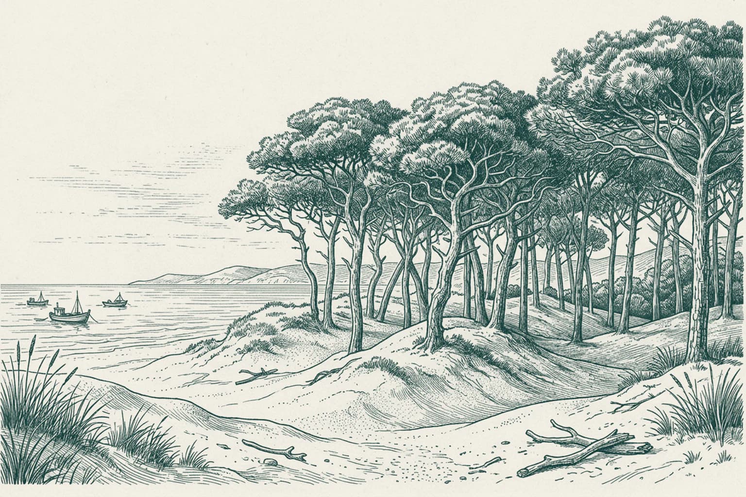
The landscape surrounding Barbate is defined by the unique interaction between the Atlantic coastline and the managed ecosystems of the La Breña y Marismas del Barbate Natural Park. To stabilize the shifting terrain, strategic efforts were made to plant vast stretches of pine forests along the coast, which act as a physical barrier against the encroachment of sand dunes. This dense vegetation creates a distinct transition from the salty marine environment to the terrestrial habitats inland. The local economy and daily life have long been anchored to these shores, with the fishing port positioned directly on the edge of the protected park area. This proximity ensures that the town remains deeply connected to the maritime rhythms of the Strait of Gibraltar, balancing the conservation of the natural park with the active maritime industry that defines the coast.
- 07Vejer de la Frontera, Cádiz · 13:42
Vejer de la Frontera, Cádiz The fortified heights of Vejer
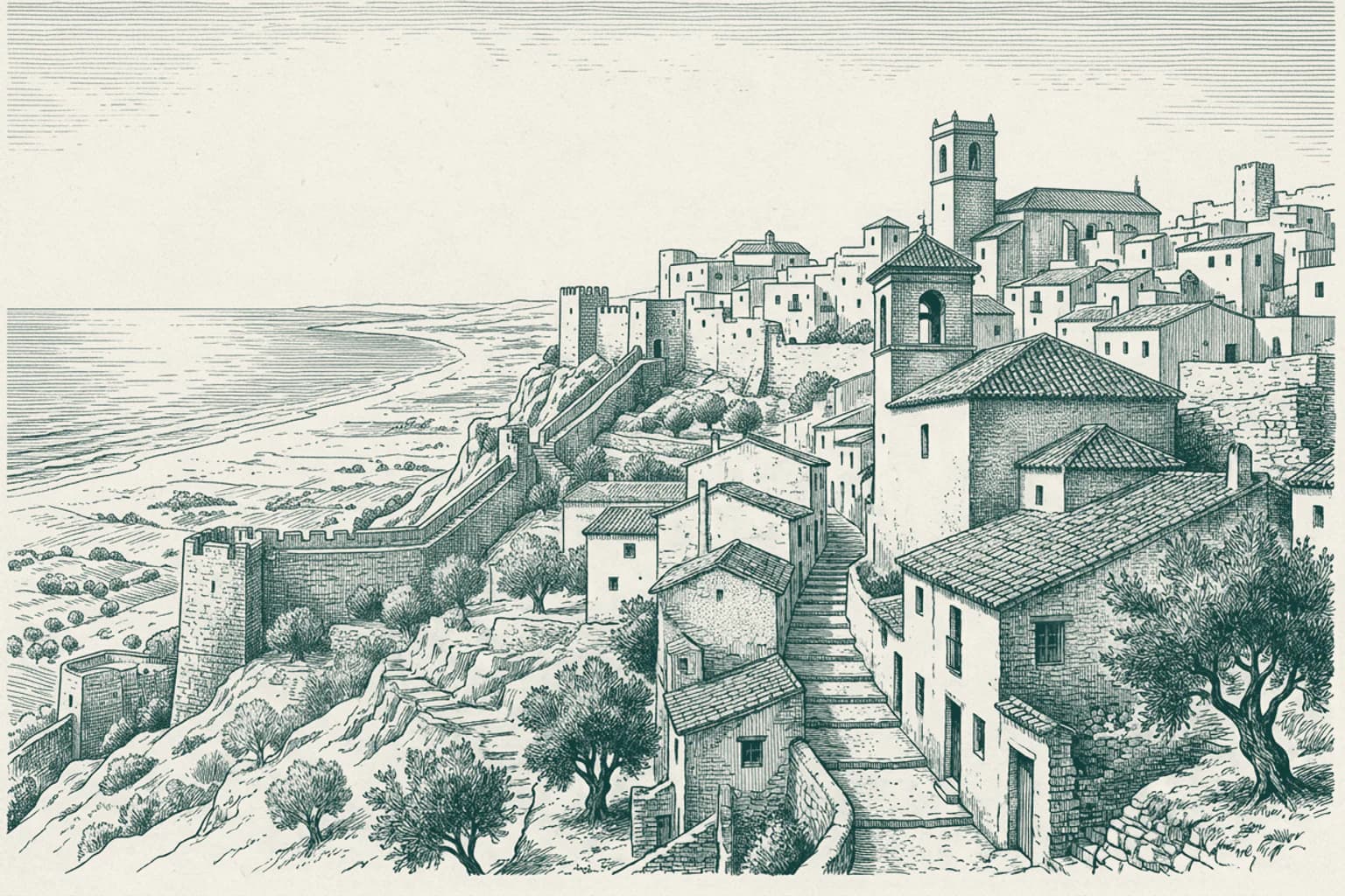
Vejer de la Frontera rises sharply above the Atlantic plains, defined by its massive defensive perimeter. These stone fortifications, now officially recognized as a Bien de Interés Cultural, were engineered to secure the hilltop settlement against centuries of regional instability. The architecture reveals the strategic necessity of the location, where thick masonry walls were designed to withstand prolonged sieges and protect the inhabitants from external threats. As you look toward the horizon, the town sits as a focal point of the Costa de la Luz, a stretch of coastline known for its intense Atlantic light. The design of these walls reflects a period when the control of high ground was the primary factor in regional survival and local authority, marking the town as a significant sentinel overlooking the coastal route toward the Guadiana River.
- 08Vejer de la Frontera, Cádiz · 13:45
Vejer de la Frontera, Cádiz Vejer de la Frontera life
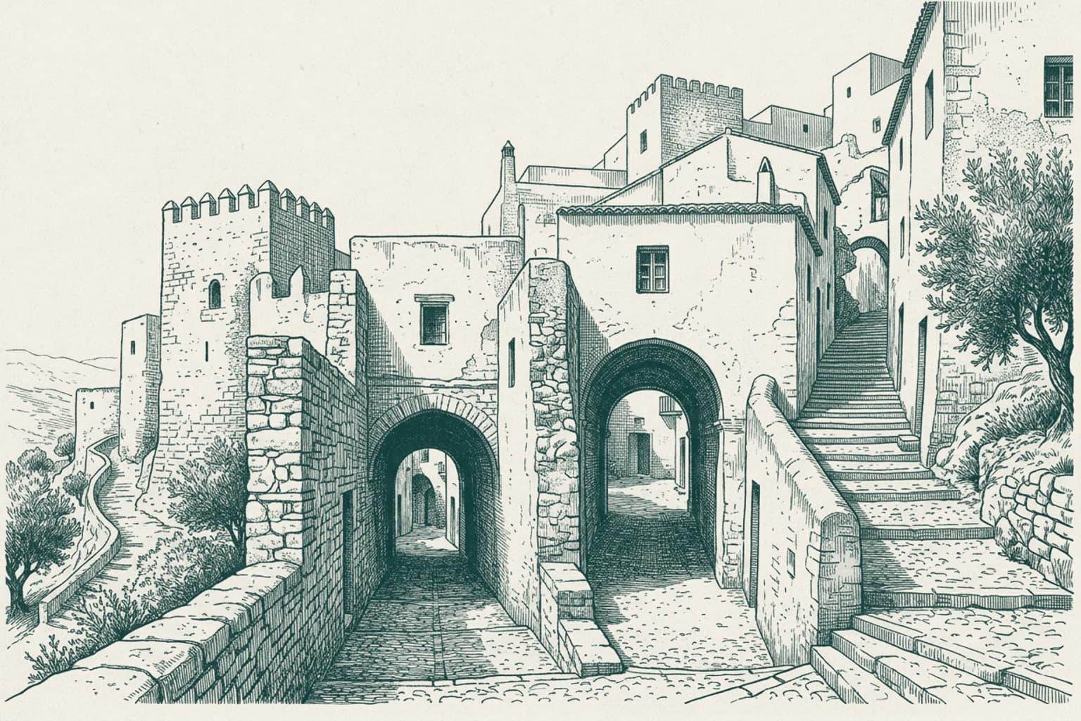
Vejer de la Frontera maintains a distinct layout shaped by its elevation above the landscape. The town center features narrow, winding streets designed to provide shade and protection from the Atlantic winds that sweep across the region. Historically, these urban patterns functioned to manage the flow of residents and livestock within the restricted perimeter of the hilltop. Local architecture here relies on thick, whitewashed stone masonry, a technique utilized for centuries to reflect intense solar radiation and maintain cooler internal temperatures during the summer months. This persistent focus on environmental adaptation defines the daily experience of the inhabitants, who move through a sequence of interconnected plazas and vaulted passages. The structural integrity of these homes reflects a long-standing commitment to traditional building methods that prioritize durability against both the coastal climate and the steep topography of the site.
- 09Vejer de la Frontera, Cádiz · 13:55
Vejer de la Frontera, Cádiz The tragic history of Casas Viejas
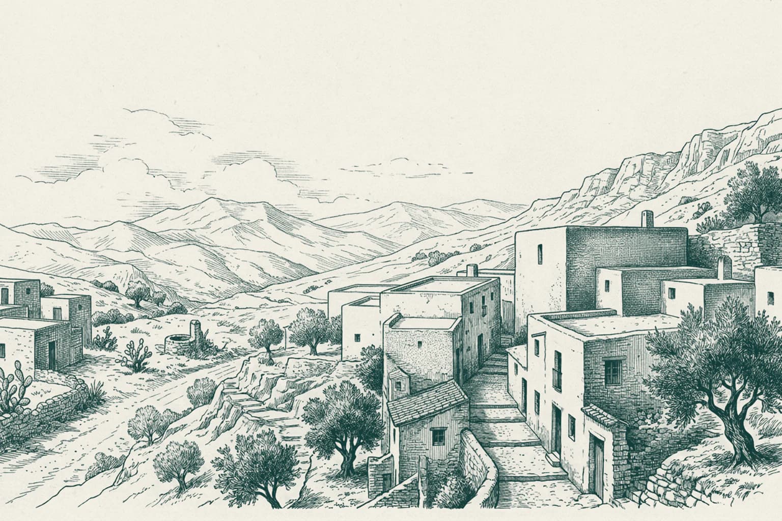
In the early months of 1933, the rural community near Vejer de la Frontera, then known as Casas Viejas, became the site of a profound tragedy that resonated throughout Spain. A group of laborers and anarchists rose up, seeking to challenge the existing social order. The response from the state was swift and overwhelming, leading to a mass killing that claimed the lives of numerous residents. This event fundamentally altered the local social fabric and became a significant point of historical debate regarding the nature of state authority and political instability during that period. The quiet fields surrounding the area serve as a somber reminder of the intense ideological clashes that once disrupted the lives of the people who cultivated this land.
- 10Benalup-Casas Viejas, Cádiz · 14:01
Benalup-Casas Viejas, Cádiz The Settlement of Benalup-Casas Viejas
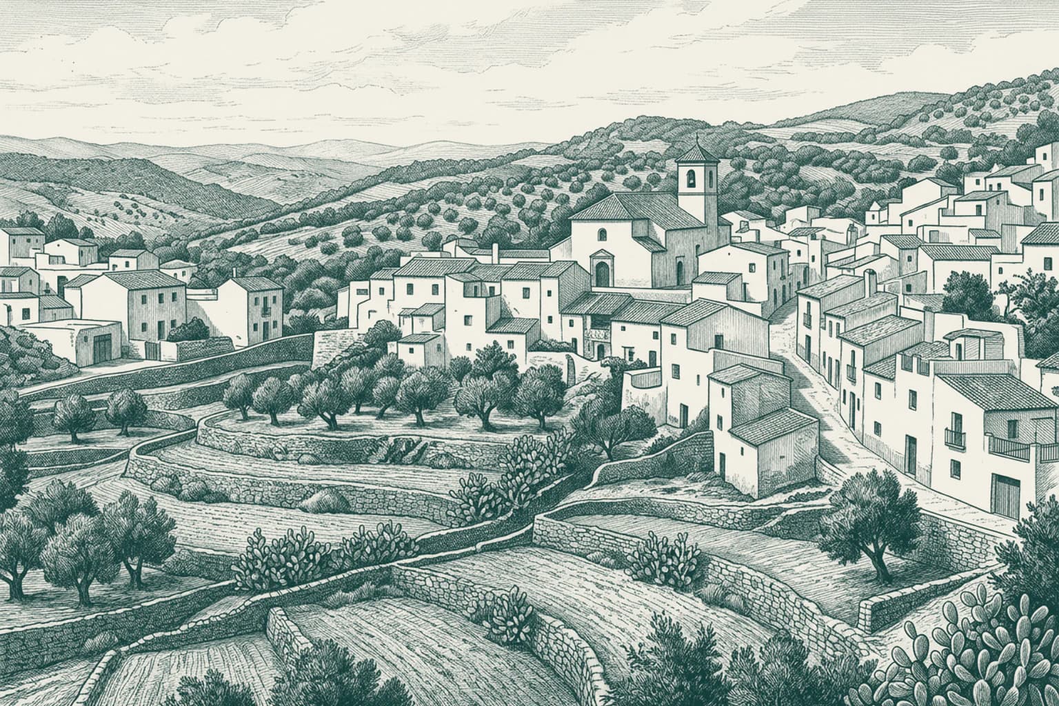
Benalup-Casas Viejas stands in the province of Cadiz, serving as a distinct point of residence for over six thousand people. The community is deeply rooted in the rural landscape of the region, where the pace of daily existence is dictated by the surrounding geography. Throughout the twentieth century, the town underwent significant administrative and social transitions, evolving from a small agrarian cluster into the municipality known today. The local population maintains a connection to the land that has defined the character of these interior settlements for generations, focusing on the steady development of their home within the broader context of Andalusian life.
- 11Benalup-Casas Viejas, Cádiz · 14:08
Benalup-Casas Viejas, Cádiz The flow of the Barbate River
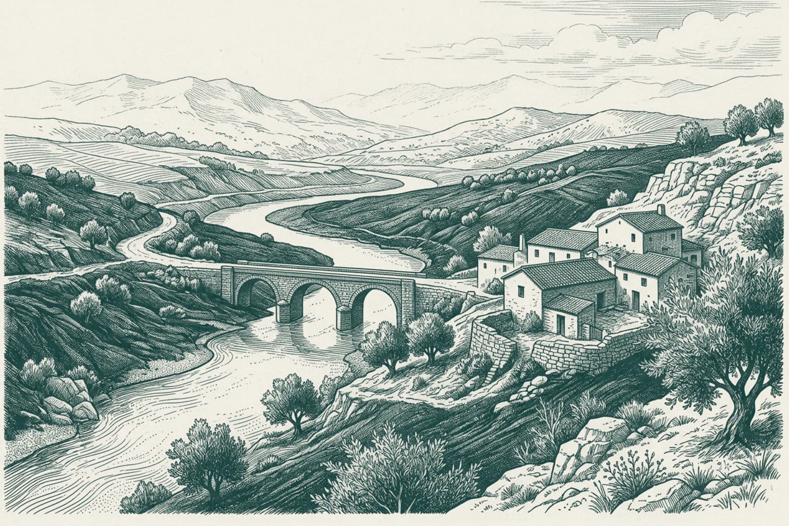
It is a pleasure to find you traveling through these lands once more. As we move through this landscape, the path of the Barbate River defines the character of the terrain. Originating high in the northern foothills of the Sierra del Aljibe, this waterway begins its journey at an elevation of over nine hundred meters. The river descends rapidly through Triassic terrain, shedding much of its altitude in a short distance before reaching the flatter Eocene lands. This shift in geology forces the river to meander significantly across the wide colluvial plains. These areas are characterized by the dark, fertile clay soils known locally as bujeo, or the black Andalusian lands. The river eventually passes through the gorge of Barca de Vejer, continuing its journey toward the Atlantic coast near the former Janda Lagoon, where it gathers the flow of several tributaries, including the Celemín.
- 1214:19
Two Shores of Andalusia
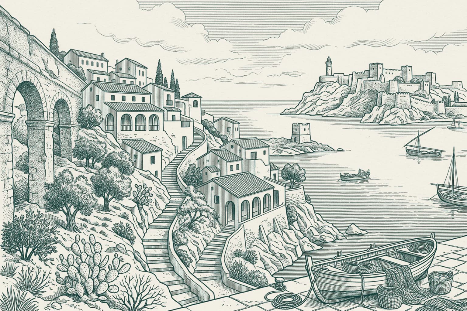
As you travel through the vast landscape of Andalusia, the road unfolds like a long, winding ribbon connecting disparate chapters of history. On one side, you have the rugged, Atlantic-facing town of Barbate, nestled near the mouth of its river and the shadow of Cape Trafalgar. On the other, the white-washed heights of Mijas, perched on a mountainside overlooking the Mediterranean coast. While these two municipalities both call the same autonomous community home, their stories are written in different ink, shaped by the distinct demands of their geography. Barbate has always been a place defined by the pulse of the Atlantic. Its identity is etched into the ancient tradition of fish salting, a practice that thrived since Roman times, and its landscape is marked by the Tower of Tajo, a sentinel watching over the coastline. It is a town that has looked toward the sea for its survival, from the days of the Roman oppidum Baessipo to the modern celebrations of its tuna gastronomy. The history of Barbate is one of wind, salt, and the relentless tides of the ocean. In contrast, the story of Mijas is one of mountain defenses and a complex shifting of empires. Founded by the Tartessians and known to the Romans as Tamisa, it became a strategic point for the Moors, who left their mark on its very name. Unlike the coastal focus of Barbate, Mijas was built high above the sea, a refuge that resisted the Catholic monarchs during the siege of Málaga in 1487. While Barbate dealt with the currents of the Atlantic, Mijas spent centuries looking out for pirates, leading to the construction of watchtowers that still dot its terrain. Even their modern struggles diverged; Mijas endured the destruction of its vineyards by the phylloxera plague and the tragic landing of General Torrijos in 1831, while Barbate navigated the political shifts of the 20th century. There is no single road or war that binds these two towns into a shared narrative. They are independent witnesses to the passage of time in southern Spain. Barbate remains a gateway to the wild, salt-sprayed traditions of the Atlantic, while Mijas stands as a testament to the endurance of the mountain-dwelling communities of the Costa del Sol. They are two distinct echoes of the same Andalusian spirit, vibrating across the miles that separate them.
- 13Los Barrios, Cádiz · 14:30
Los Barrios, Cádiz The prehistoric depths of Los Barrios
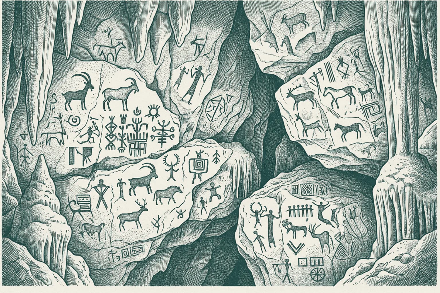
Hidden within the dense expanse of Los Alcornocales Natural Park lies the Cave of Bacinete. This site serves as a testament to the earliest inhabitants of the region, preserving intricate examples of prehistoric rock art that have survived for millennia. The cave was formally recognized for its historical significance in 1985, when it was declared a Property of Cultural Interest. These artistic expressions offer a direct link to the ancient communities that once moved through these rugged landscapes long before the modern boundaries of Los Barrios were established. Nearby, the landscape transitions to the functional waters of the Charco Redondo Reservoir. This massive basin reflects the modern necessity of managing the region's water resources in the province of Cádiz, standing in stark contrast to the quiet, ancient testimony held within the stone walls of Bacinete.
- 14Los Barrios, Cádiz · 14:35
Los Barrios, Cádiz Стражи ущелий Лос-Барриос
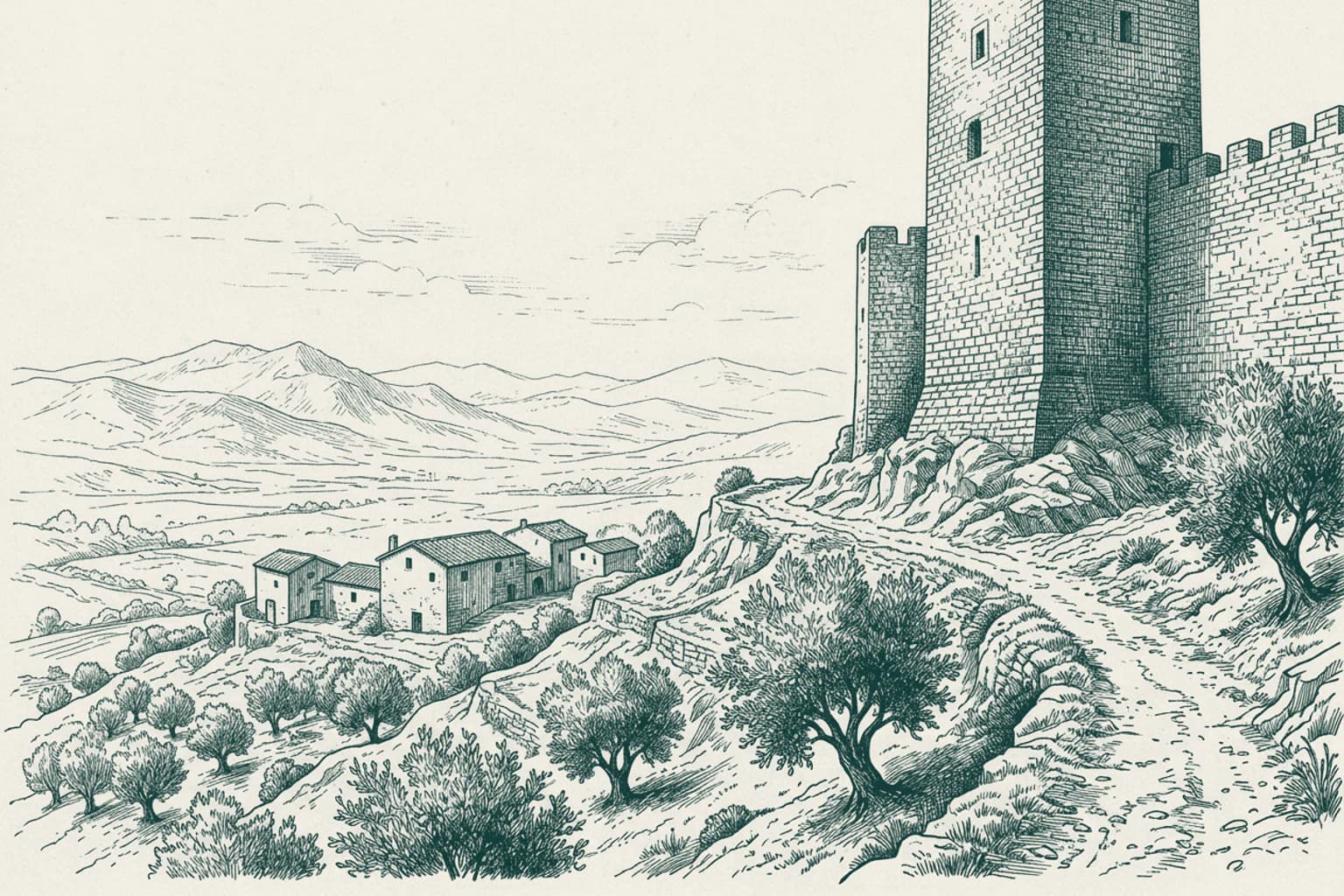
Над холмами Лос-Барриос, возвышаясь на сто двадцать метров над уровнем моря, до сих пор стоит башня Ботафуэгос. Эту арабскую сторожевую вышку возвели в XIV веке, когда земли вокруг пролива Гибралтар напоминали шахматную доску, где каждый стратегический проход находился под прицелом. Башня служила глазами для гарнизонов, контролируя путь между Аль-Язират Аль-Хадра и Мединой-Сидонией. Она была частью сложной системы обороны, следящей за каждым движением на маршруте, известном как Ла-Троча. В те времена жизнь здесь зависела от того, кто первым увидит приближение чужаков из глубины суши. Сегодня же, глядя на этот древний каменный силуэт рядом с ручьем Ботафуэгос, можно представить, как часовые всматривались в горизонт, ожидая вестей из крепостей, которые давно стали частью истории.
- 15San Roque, Cádiz · 14:44
San Roque, Cádiz The defenses of La Línea
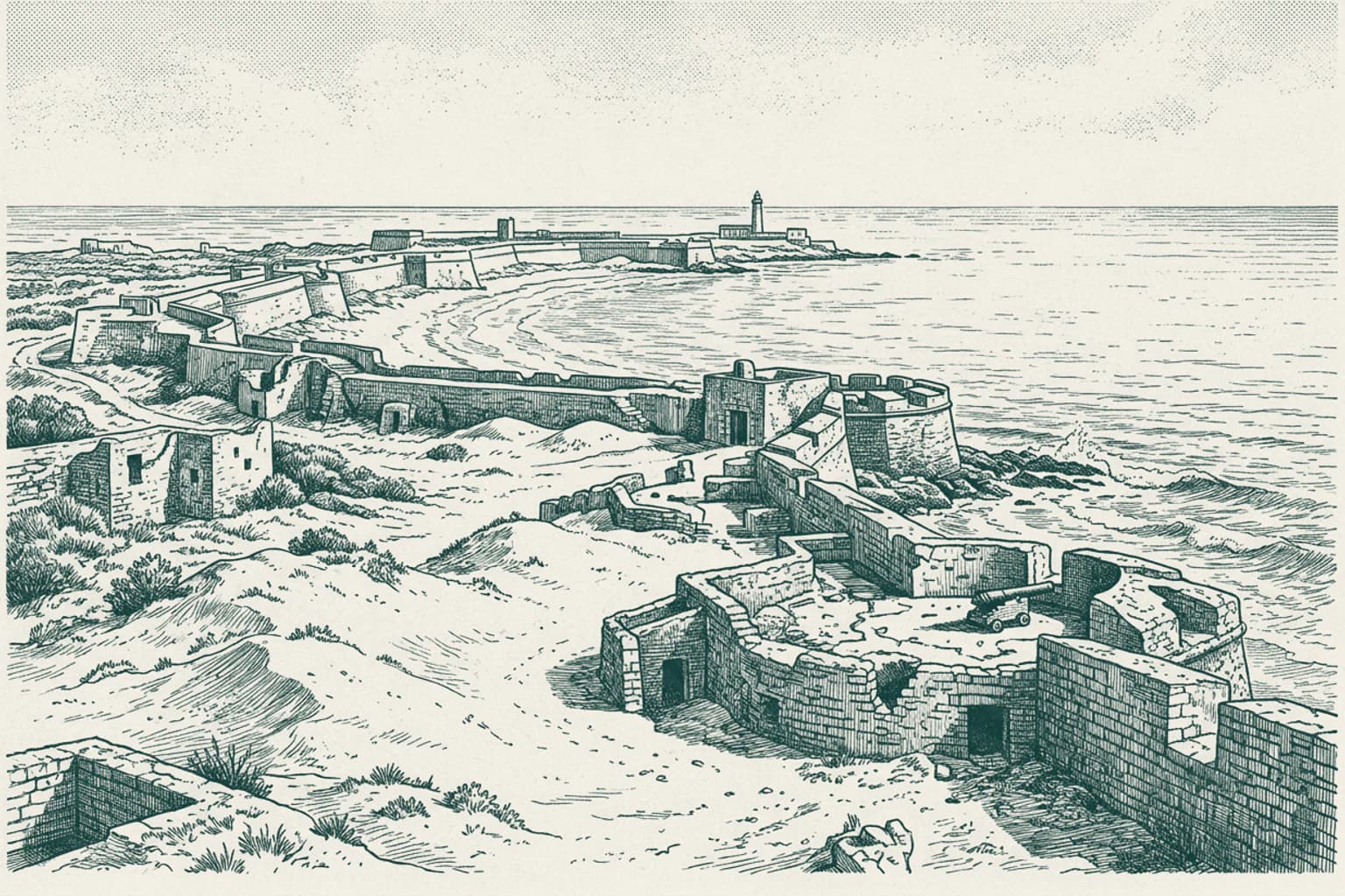
It is a pleasure to see you back on this route. As we pass by the coast, it is worth noting the origin of the town of La Línea de la Concepción. Its very foundations are tied to the persistent tension over the nearby territory of Gibraltar. During the eighteenth and nineteenth centuries, as European powers clashed, the Spanish military established a line of defensive fortifications here to prevent any expansion from the British territory across the isthmus. One of the most significant remnants of this era was the Atunara Battery, constructed in 1735. This artillery installation was strategically placed on the sandy shores to protect the rear of the Lines of Contravallation. The first permanent dwellings in the area were built directly behind these military works, marking the birth of a settlement born entirely from the necessity of guarding the frontier.
- 16Manilva, Málaga · 14:53
Manilva, Málaga Manilva and the Guadiaro River
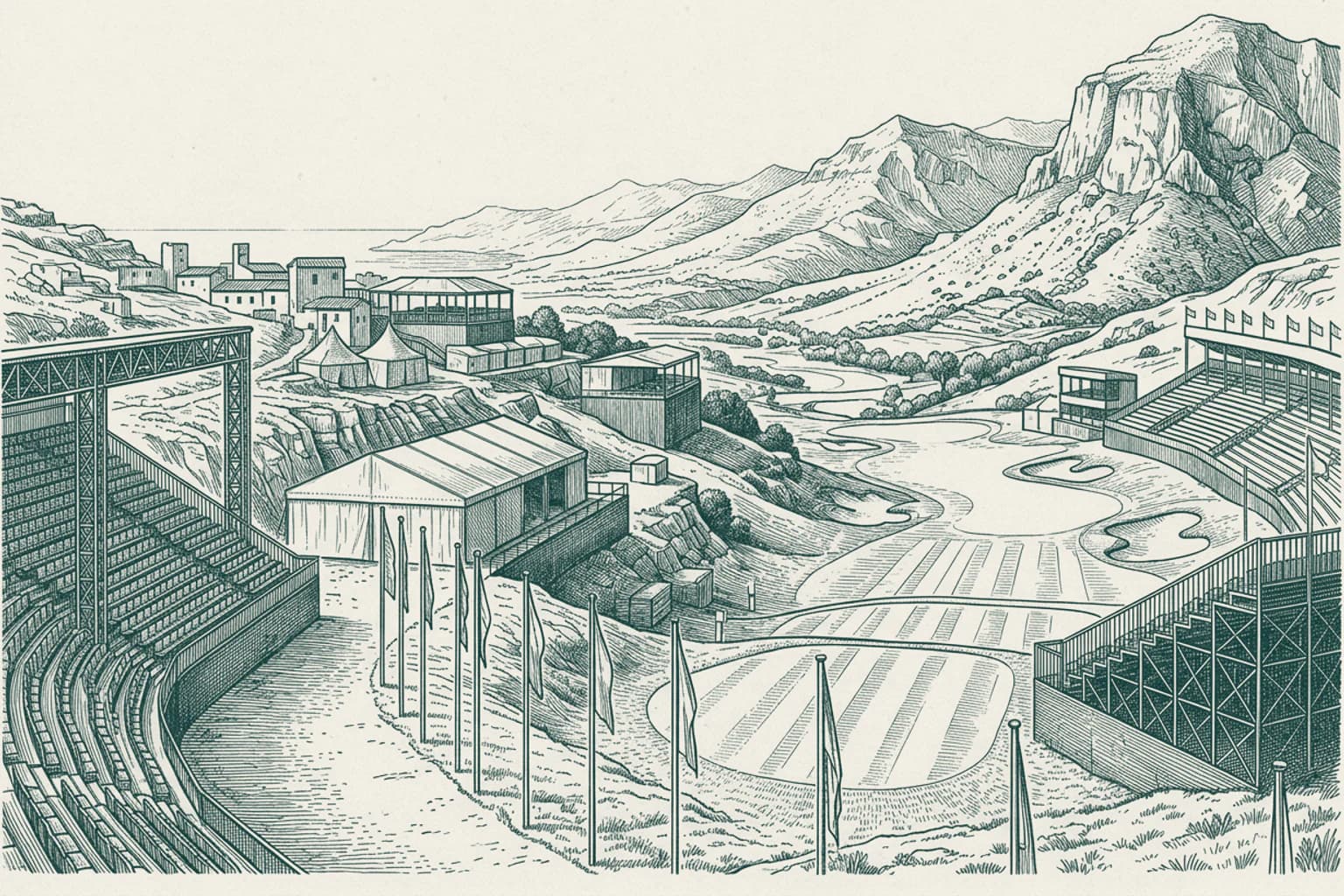
As we travel along the southwestern edge of the Málaga province, we approach the municipality of Manilva. This area sits at the intersection of the Málaga and Cádiz provinces, marking a distinct geographical boundary within the Costa del Sol Occidental. The landscape here is defined by its proximity to the Guadiaro River, a waterway that has seen significant historical movement across its banks. In the year 1010, the river basin became the site of a major military engagement known as the Battle of the Guadiaro River. This conflict remains a notable historical marker of the shifting power dynamics in medieval Andalusia, long before the region transitioned into the coastal landscape known to travelers today.
- 17Estepona, Málaga · 15:02
Estepona, Málaga The Guadalmina River and Estepona
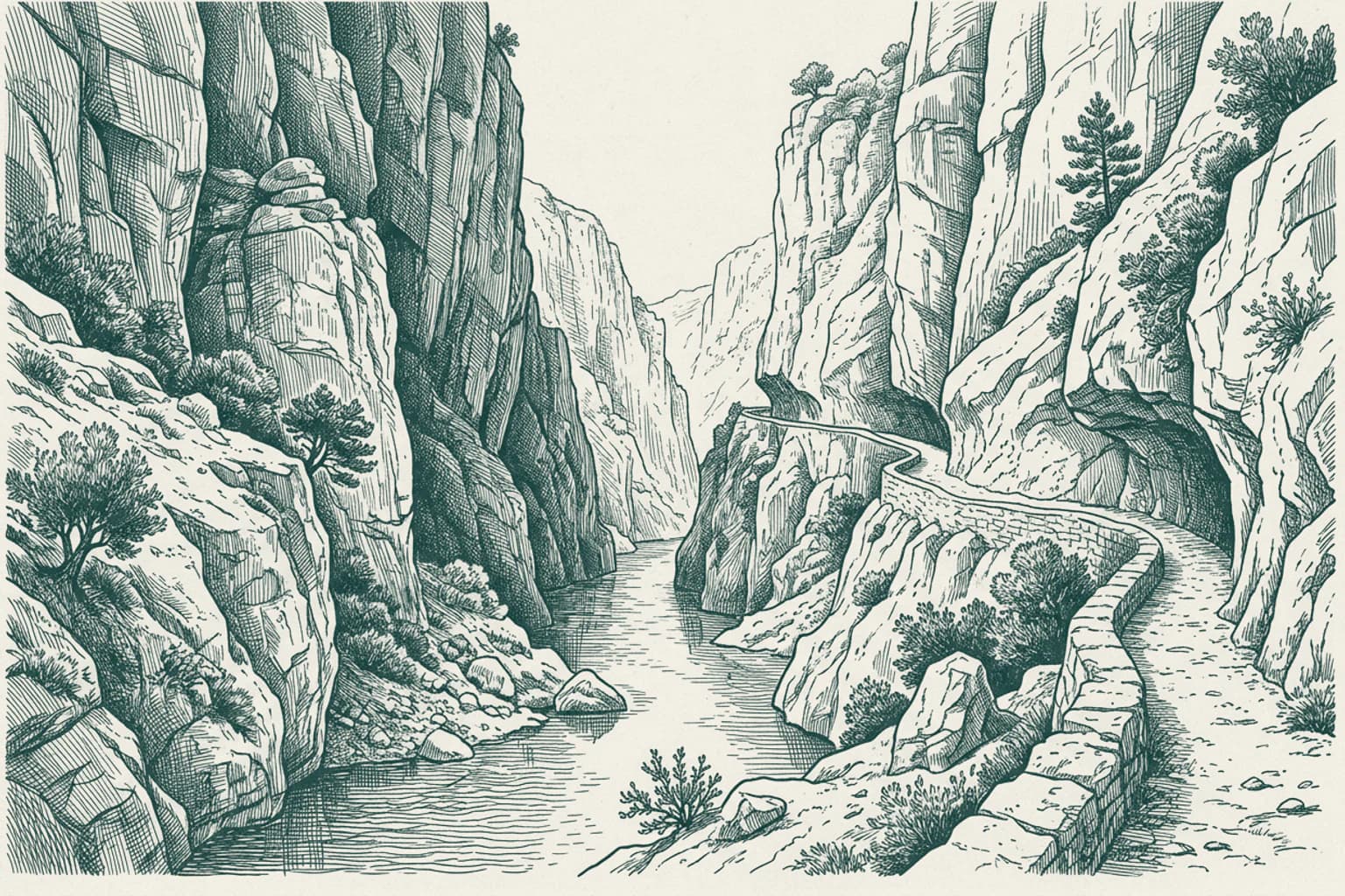
The name Guadalmina carries the linguistic echo of the region's past, derived from the Arabic term for the river of the port. This waterway originates in the rugged heights of the Sierra Bermeja near Igualeja and carves a distinct path through the landscape before reaching the Mediterranean. As it descends, the river creates a karst aquifer in the area known as Las Angosturas, a series of narrow limestone gorges that contrast sharply with the fertile valley surrounding Estepona. Historically, this river served as a vital natural boundary, marking the division between the municipalities of Marbella and Estepona. Beyond its role as a geographic marker, the river sustains the micro-climate of the valley, which is protected by the imposing peaks of the Sierra Bermeja, specifically the summit of Los Reales, which rises to over fourteen hundred meters above the coast.
- 18Marbella, Málaga · 15:10
Marbella, Málaga The King Abdul Aziz Mosque
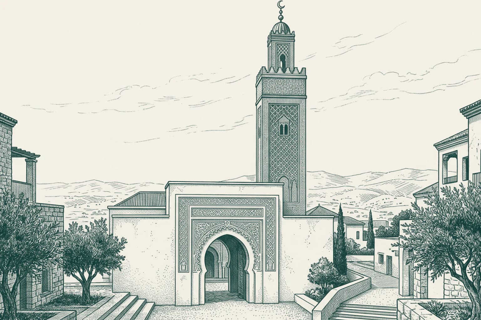
In the landscape of Marbella stands the King Abdul Aziz Mosque, completed in 1981. This structure serves as a notable example of modern religious architecture in Andalusia. Financed by the government of Saudi Arabia, the project was commissioned by Prince Salman to honor King Fahd, who frequently visited the area. It stands as one of the first mosques built in Spain during the modern era, reflecting a specific architectural approach within the local community. The site is associated with the Salafi school of thought, aligning with the religious traditions prevalent in the country that funded its construction. Its presence contributes to the diverse cultural and religious tapestry of this coastal region, marking a distinct intersection between Middle Eastern influence and the evolving character of the Costa del Sol.
- 19Marbella, Málaga · 15:19
Marbella, Málaga The Golden Mile of Marbella
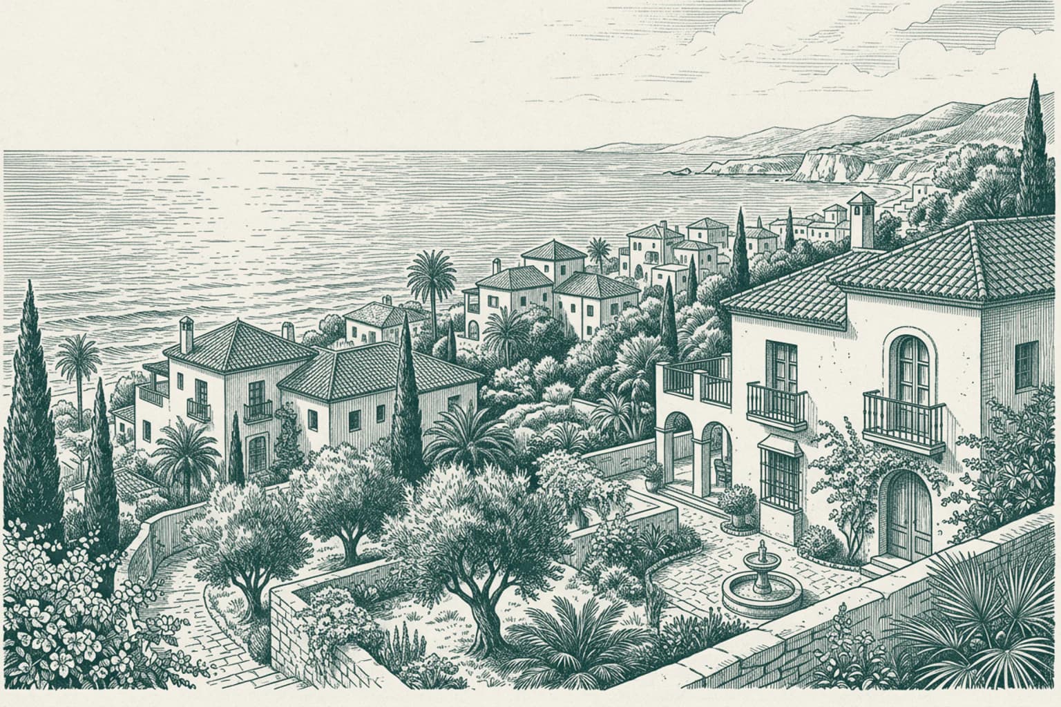
It is a pleasure to see you back on this coastal route. While many focus on the modern buzz of the city, the transformation of this area owes much to the vision of Prince Alfonso of Hohenlohe-Langenburg. In 1954, he chose this specific stretch of land to build his private residence, the Marbella Club, turning a quiet agricultural landscape into what is now known as the Golden Mile. This transition from rural serenity to an international destination redefined the local lifestyle, blending private villa estates with the lush, subtropical gardens that still define the character of the resort today. Beyond the manicured grounds, the geography itself remains the constant witness to this change, with the slopes of the Sierra Blanca providing a dramatic backdrop that has sheltered these estates for decades, maintaining a distinct atmosphere amidst the rapid growth of the region.
- 20Marbella, Málaga · 15:25
Marbella, Málaga The legacy of the German School
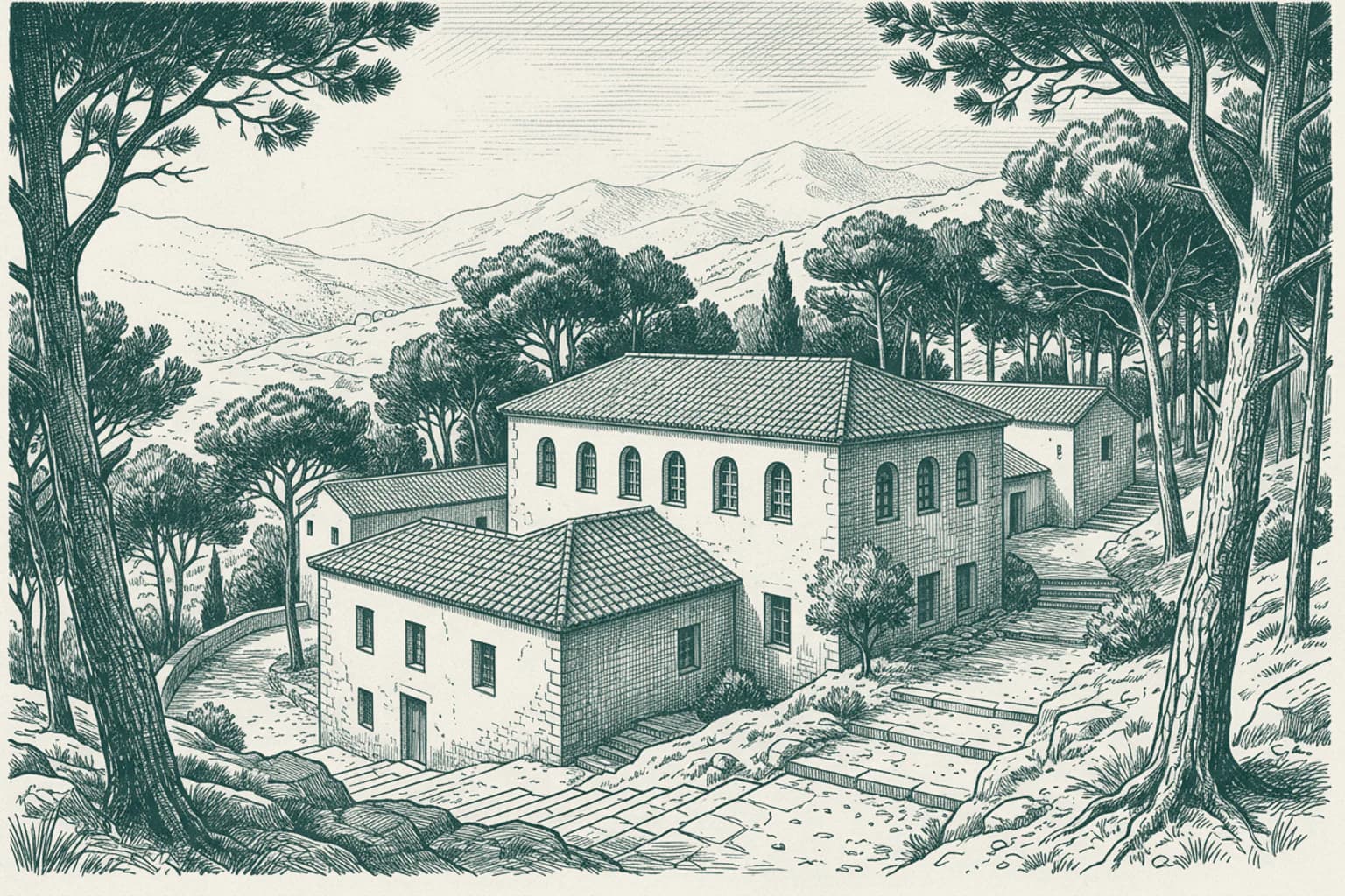
It is a pleasure to see you traveling this familiar path once again. Beyond the coastal defenses and luxury estates, there is a quieter, intellectual thread woven into the history of this region. In 1898, the German Evangelical pastor and the local German consul founded a school here to serve the international community. Though the institution shuttered during the turmoil of the Second World War, it was resurrected in 1967 by Hans Hoffmann Heinkeder. Serving as the German Consul General in Malaga at the time, Hoffmann Heinkeder dedicated his efforts to rebuilding this educational bridge between German and Spanish families. Today, the school continues to provide a curriculum that spans from early childhood through the Bachillerato, standing as a testament to the long-standing diplomatic and cultural ties between Northern Europe and this stretch of the Andalusian coast.
- 21Mijas, Málaga · 15:31
Mijas, Málaga The Calaburras Lighthouse beacon
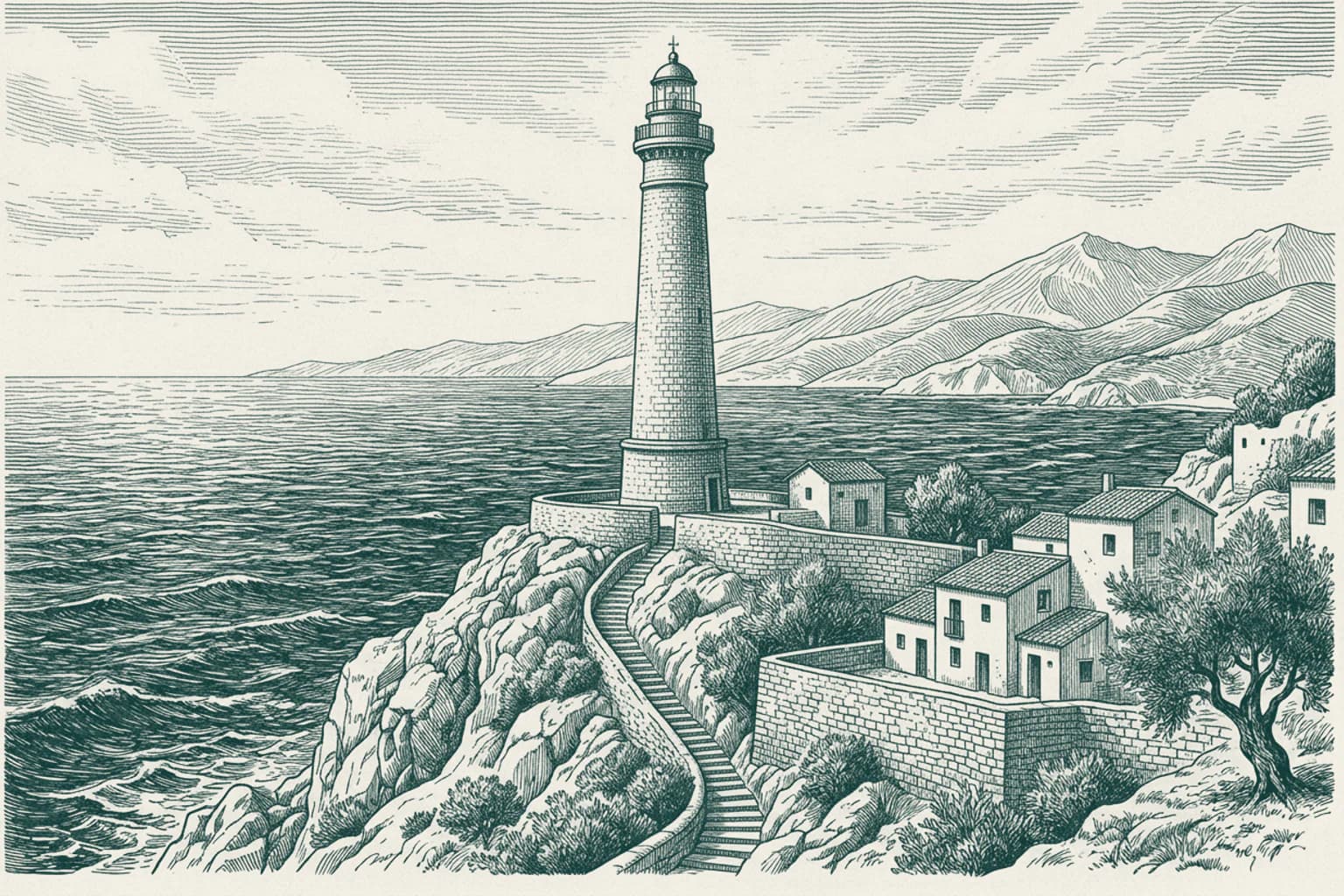
It is a pleasure to see you back along this coastal stretch where the horizon shifts with every passing mile. Near the point of Punta de Calaburras, the lighthouse stands as a silent witness to the evolution of maritime safety. While many structures along this coast were built for defense, this station holds the distinction of being the first air and sea lighthouse in all of Spain. When it was first established in 1863, it featured a modest masonry tower, but the demands of modern navigation required a transformation. By 1928, the current structure was completed, rising twenty-nine meters to cast its beam far across the Mediterranean. Its signal today acts as a vital guide for ships and aircraft navigating the complex currents of the Strait of Gibraltar, operating with an automatic electric flash every five seconds.
- 22Mijas, Málaga · 15:35
Mijas, Málaga Sohail Castle and St. Anthony's College
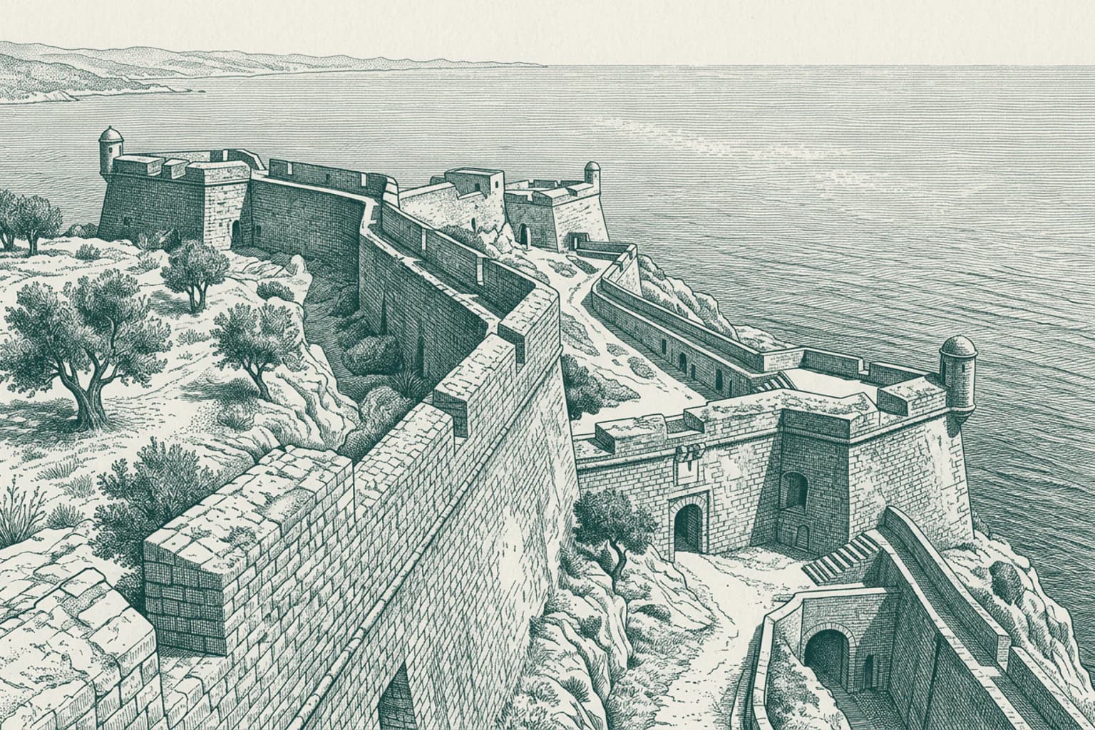
It is a pleasure to see you back on this stretch of the coast. While many travelers focus on the shoreline, the hills hold their own distinct narrative. High above the Mediterranean, Sohail Castle stands as a testament to the region's long-standing strategic importance. This fortress has served as a central vantage point for centuries, overseeing the coastal movements and shaping the local landscape that we see today. Further inland, between the town of Fuengirola and Mijas, sits St. Anthony's College. Established as the oldest British educational institution on the Costa del Sol, it represents a different kind of history—the integration of international cultures into the Andalusian fabric. The school maintains a unique position by blending the British curriculum with the official Spanish academic standards, serving students from a wide variety of nationalities.