Chiclana de la Frontera, Cádiz — Barbate, Cádiz
EN- 01Chiclana de la Frontera, Cádiz · 12:47
Chiclana de la Frontera, Cádiz Historical Echoes of Chiclana
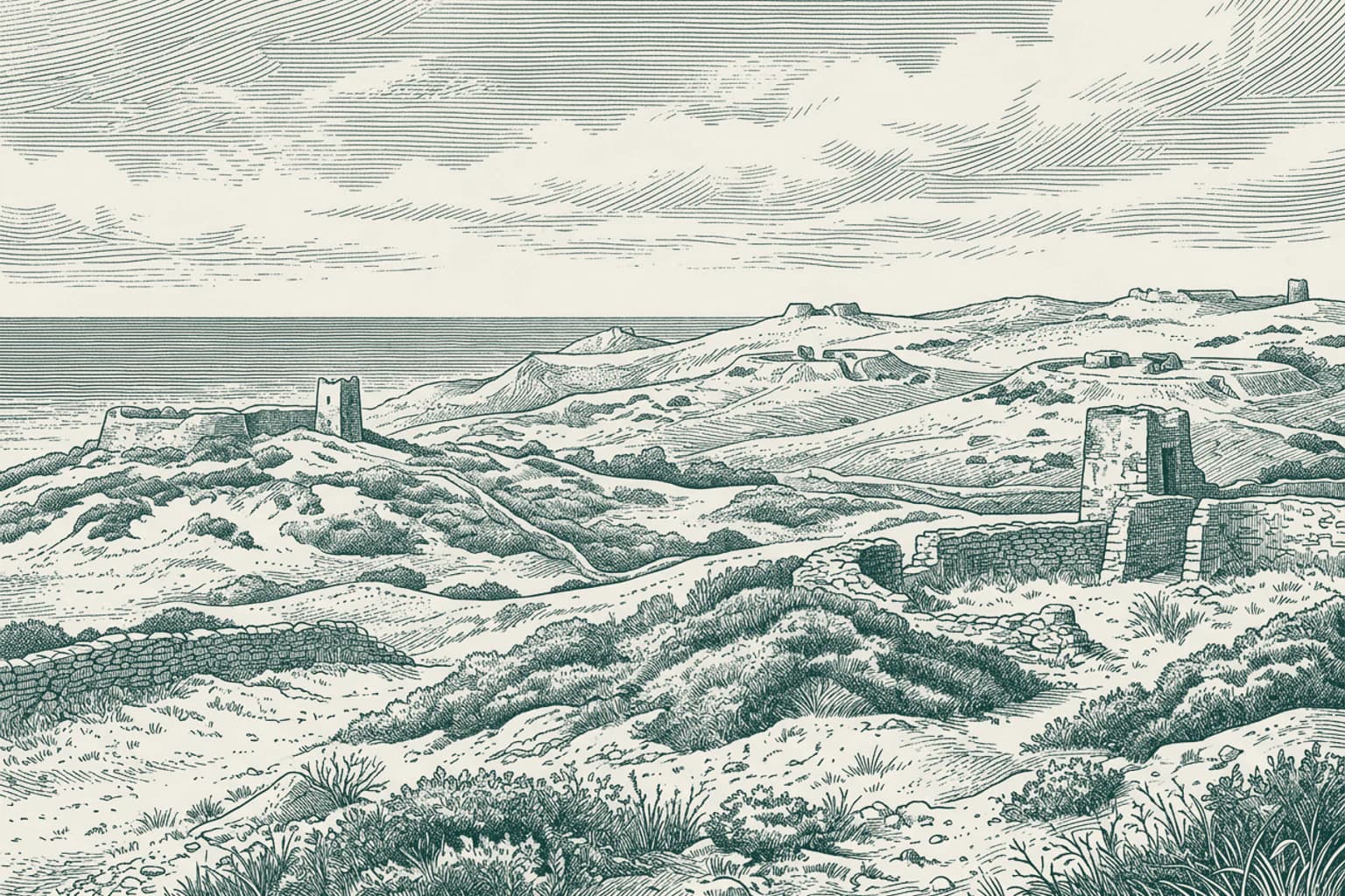
In the spring of 1811, the fields around Chiclana de la Frontera became the stage for the Battle of Barrosa, also known as the Battle of Cerro del Puerco. This clash was a desperate attempt by an Anglo-Iberian force to break the French siege that had tightened around Cádiz since the previous year. During the engagement, a single British division managed to overcome two French divisions, a feat that led to the capture of a French regimental eagle. The soldiers involved were part of a larger Allied strike force that had been shipped from Cádiz to Tarifa to outmaneuver the besieging army. This event remains a defining moment for the area, marking the intense pressure of the Peninsular War that transformed these quiet coastal lands into a significant theater of international military action.
- 02Conil de la Frontera, Cádiz · 13:02
Conil de la Frontera, Cádiz The Coastal Heritage of Conil
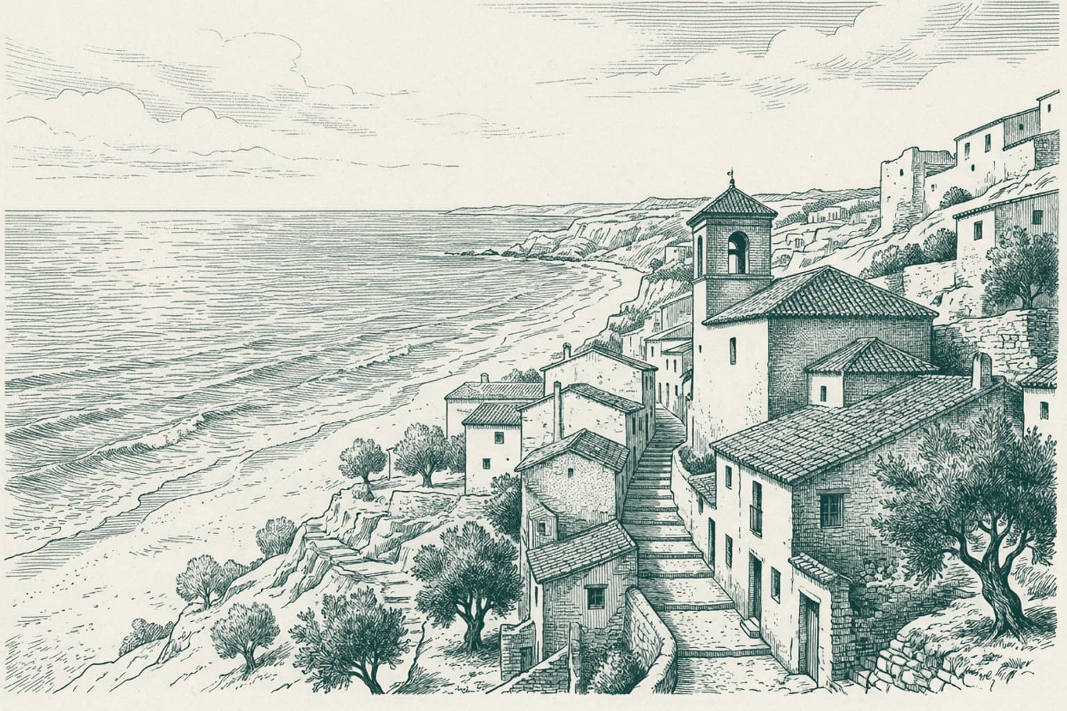
Conil de la Frontera stands as a distinct example of the Andalusian white towns, though it sits directly against the Atlantic rather than deep in the mountain ranges. The architecture here follows the traditional regional pattern, with whitewashed facades designed to reflect the intense southern sun. Historically, the town served as a vital point for the almadraba, a complex, ancient method of tuna fishing that required coordinated effort from the local community. This industry shaped the social structure of the town for centuries, relying on the seasonal migration of fish along the coast. The residents maintained a life intrinsically linked to the rhythms of the sea and the surrounding fertile plains, keeping the town isolated from the rapid development seen in other coastal areas of Spain until modern times.
- 03Vejer de la Frontera, Cádiz · 13:11
Vejer de la Frontera, Cádiz The Coastal Lands of Vejer
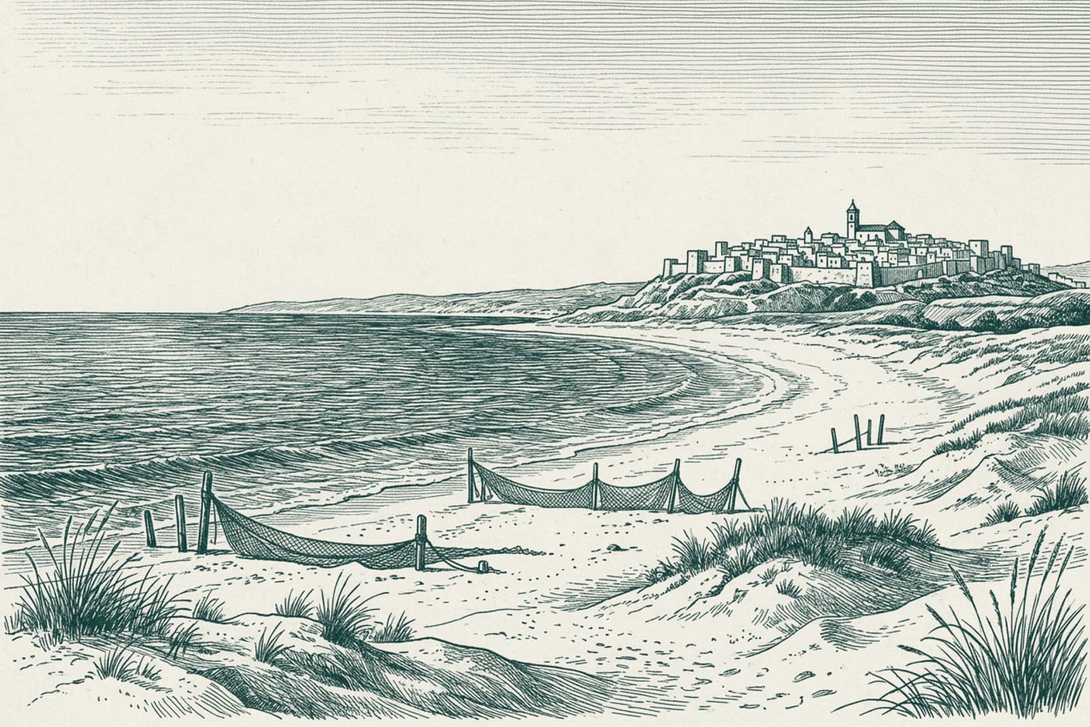
As we move toward the coast within the municipality of Vejer de la Frontera, we reach the settlement of El Palmar. This area is defined by its extensive stretch of Atlantic shoreline, reaching eight kilometers in length. While the main town of Vejer sits prominently on its inland hill, this coastal territory has long served as a distinct geographical extension of the municipal lands. The landscape here is defined by the open horizon of the ocean and the flat, sandy stretches that contrast sharply with the fortified, elevated architecture of the historic town center located eleven kilometers away. The connection between the inland seat of power and this vast coastal strip has shaped the administrative history of the region for centuries, anchoring the community across both the high ridge and the sea level.
- 04Vejer de la Frontera, Cádiz · 13:15

Vejer de la Frontera, Cádiz The Strategic Cape Trafalgar
Cape Trafalgar serves as a definitive maritime threshold, marking the point where the Atlantic Ocean meets the entrance to the Strait of Gibraltar. This rugged headland acts as a natural boundary, historically linking the Spanish coast to Cape Spartel in Africa. For centuries, this stretch of the Costa de la Luz has been shaped by its proximity to these vital shipping lanes, drawing navigators and powers seeking control over the passage between seas. The cape is dominated by a thirty-four-meter structure that stands as a persistent sentinel over the shifting currents. The surrounding area, including the village of Los Caños de Meca, occupies a landscape defined by the ancient Roman Fretus Herculeum and the later Arab Boughaz el Tarek, reflecting the long succession of cultures that have monitored the movement of vessels through these waters.
- 05Barbate, Cádiz · 13:20
Barbate, Cádiz The Coastal Springs of Meca
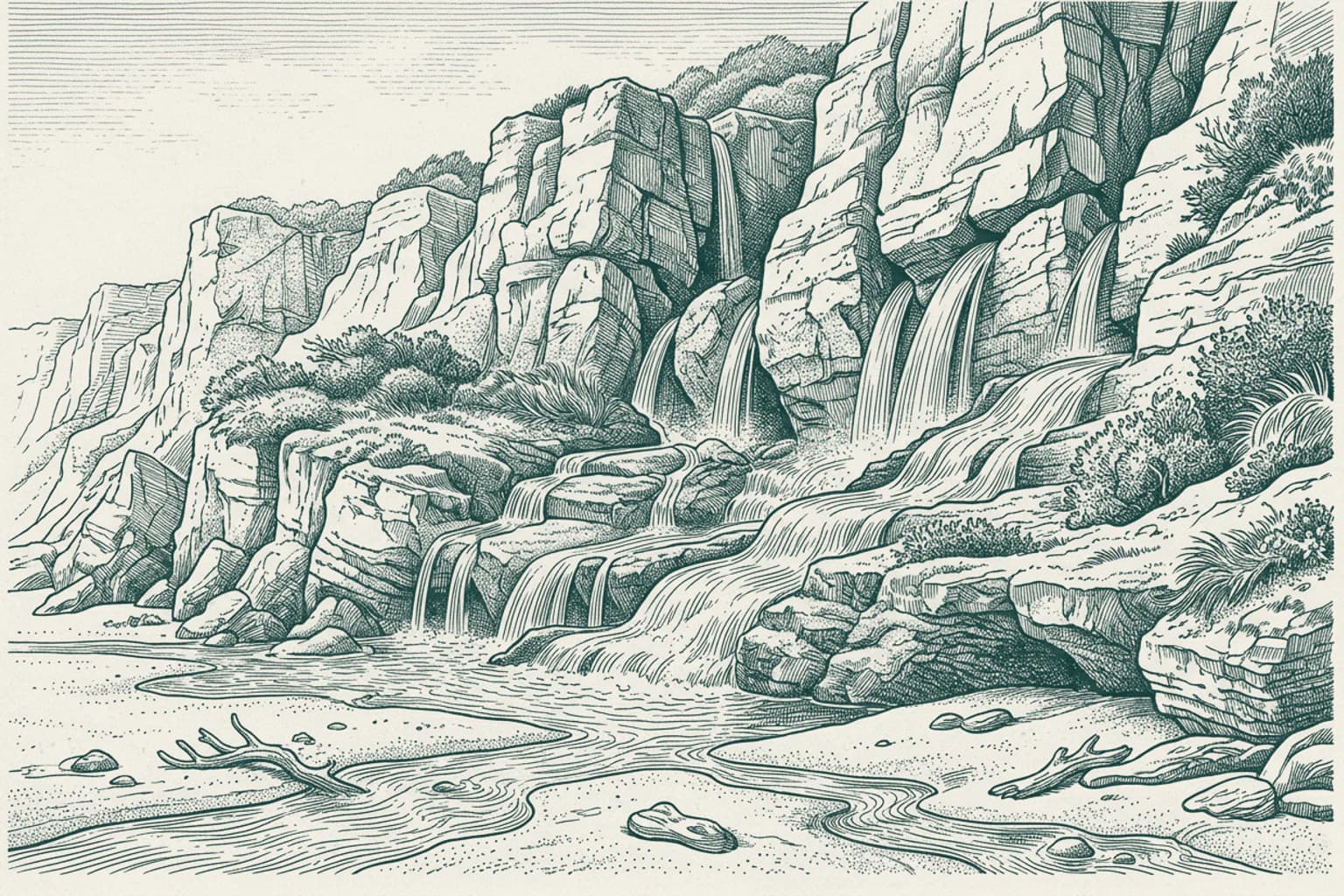
The name Los Caños de Meca finds its roots in the fresh water springs that once flowed directly from the cliffs toward the sea. These natural conduits, or caños, provided a vital resource for inhabitants in a landscape otherwise defined by the salt and wind of the Atlantic. Before the village grew into a destination, the springs served as a reliable watering point for those navigating the rugged coastline. The area remains distinct for how the subterranean water emerges through the rock layers near the shore, contrasting with the dry, sweeping dunes nearby. This geological feature shaped the early settlement patterns, as local residents relied on the consistent flow of these springs to sustain their daily needs long before the modern era transformed the surrounding landscape.