N Senhora de Guadalupe, Portugal — Cascais, Portugal
EN- 01N Senhora de Guadalupe · 12:36
N Senhora de Guadalupe The Rediscovery of Almendres
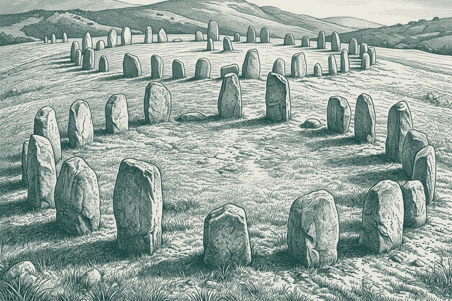
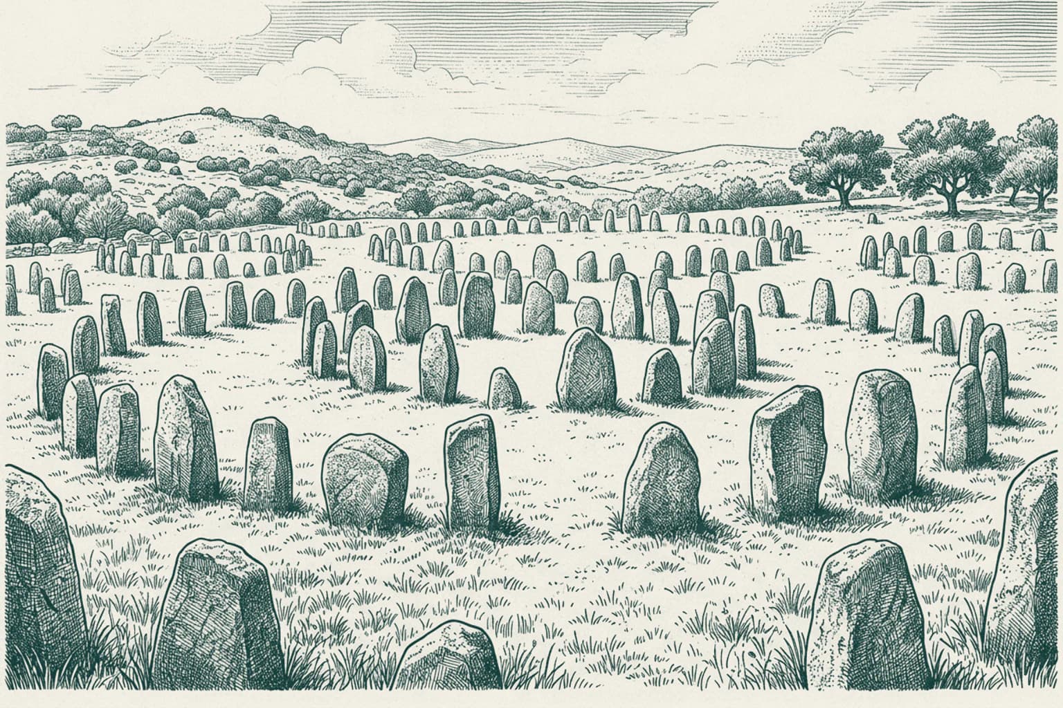
It is good to see you back on this quiet road toward the Serra de Monfurado. While these granite stones have stood here since the 6th millennium BC, they remained hidden from modern knowledge for thousands of years. It was only in 1966 that Henrique Leonor Pina finally brought them to light while he was conducting routine geological fieldwork. He found these monoliths where they had fallen or remained standing across the Almendres estate. Later, researcher Mario Varela Gomes carefully reconstructed the site by locating the original stone bases. These ninety-five granite pillars served as a precise observatory for those who lived here during the Neolithic and Chalcolithic periods, marking the exact movements of the equinox and the moon. The stones align with the sunrise over the distant peaks just as they did thousands of years ago.
- 0212:36
Historical Paths of Nossa Senhora de Guadalupe and Cascais
Nossa Senhora de Guadalupe, a civil parish nestled within the municipality of Évora, carries a legacy rooted in the deep past of the Alentejo region. The land surrounding this village contains the Almendres Cromlech, a vast megalithic complex consisting of menhirs that define the prehistoric landscape of the Évora district. Nearby, the ruined walls of the Castle of Geraldo remain as a reminder of the medieval period in this part of Portugal. These structures represent a history centered on the interior plains and the ancient settlements of the Alentejo, where human activity has persisted since the Neolithic era. The region is characterized by its agricultural heritage and its connection to the broader history of the Évora district. Cascais, situated on the Atlantic coast within the Lisbon District, possesses a distinct narrative defined by its maritime orientation. Human settlement in Cascais also traces back to the Paleolithic, yet the development of the town accelerated through its reliance on the sea. By the 13th century, the local fish production supplied the city of Lisbon, and the town eventually gained administrative independence from Sintra in 1364. King Peter I granted this status, requiring the local population to pay 200 pounds of gold annually to the Crown. While the history of Cascais includes Roman salting factories and Visigothic burials, its modern identity was shaped significantly in the 1870s when King Luís I and the Portuguese royal family established a seasonal residence there. This transition invited a community of nobility to the coast, setting a precedent that later attracted international figures, including King Edward VIII of the United Kingdom and King Juan Carlos I of Spain. There is no documented historical intersection between the development of Nossa Senhora de Guadalupe and the town of Cascais. Their histories unfolded independently within different geographic contexts: one as an inland agricultural and megalithic center in the Alentejo, and the other as a maritime town that evolved from a fishing settlement into a prominent royal resort on the Estoril Coast. While both locations exist within the modern borders of Portugal and feature archaeological sites from the Neolithic and Roman periods, they do not share a common ruler, a shared trade route, or a history of conflict. Each place maintains its own distinct administrative and cultural trajectory, reflecting the diverse regional histories that constitute the Portuguese landscape.
- 0312:36
The Emergence of Cascais
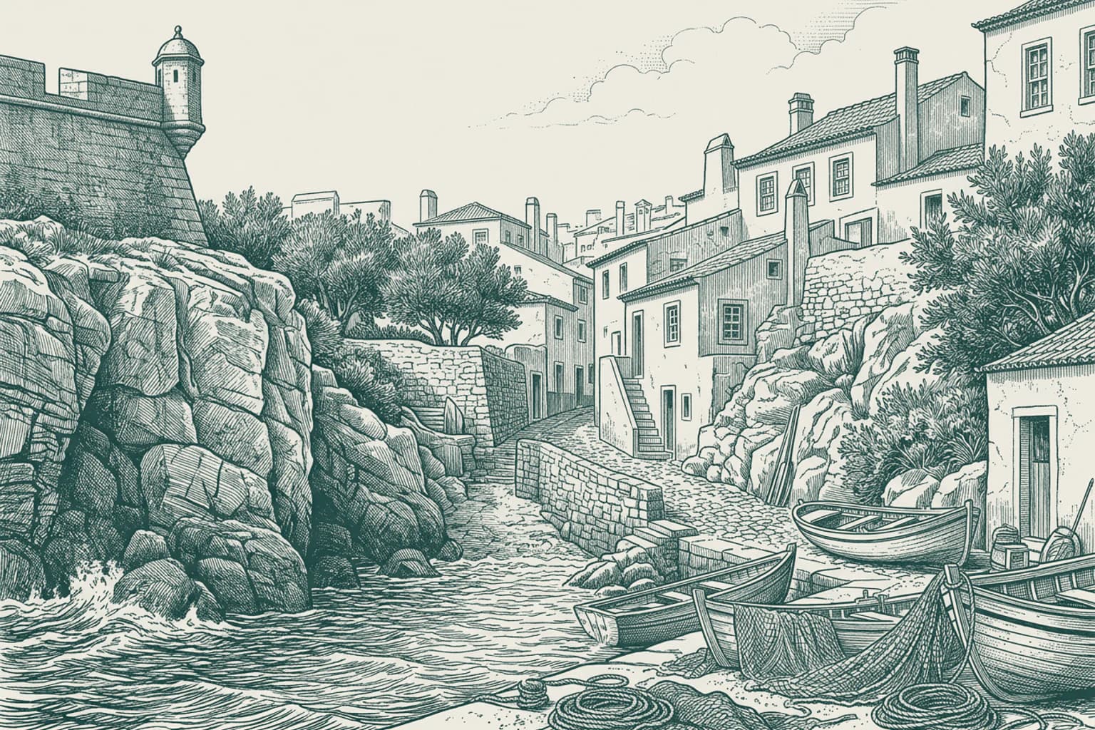
Human settlement in the territory known today as Cascais began long before the age of kings, with evidence of habitation dating back to the late Paleolithic. Early inhabitants left traces of their lives in the north of Talaíde and the Alto do Cabecinho. By the Neolithic period, these communities had established permanent presence, utilizing natural grottoes, such as the Caves of Poço Velho, as sites for depositing their dead alongside funerary offerings. This practice of organized burial persisted through the Chalcolithic, marking a long continuity of human activity in the region. The Roman period brought further structure to the landscape with the establishment of villae, such as the settlement at Freiria. Residents of this era engaged in industrial production, evidenced by the discovery of ten tanks along the Rua Marques Leal Pancada, which served as a salting factory for fish. This maritime orientation defined the area for centuries, as the abundance of marine mollusks harvested from the coastal waters led to the name Cascais, a derivation of the term for a mountain of shells. By the 12th century, the settlement began to function under the administrative shadow of Sintra. The residents relied heavily on the sea and the land, providing essential fish supplies to the growing city of Lisbon. As the population expanded beyond the original fortress walls, the need for autonomy grew. On 7 June 1364, King Peter I granted the village administrative independence, elevating it to the status of a town. This new political identity came with financial responsibilities, as the townspeople were obligated to pay the Crown 200 pounds of gold annually. This wealth was managed by a succession of influential figures, including the lawyer and professor of the University of Lisbon, João das Regras, who played a pivotal role in the ascension of King John I to power. During this period, the strategic value of the coast became undeniable. Kings such as John II, who built a fortress by the sea in 1488, and Manuel I, who issued a municipal charter in 1514, sought to secure this gateway to Lisbon. The town was no longer merely a collection of fishing huts; it was a critical defensive post, destined to be reshaped by the conflicts and ambitions of the powerful men who claimed it. As you continue your journey toward the coast, you are moving toward the very shores where these early settlers cast their nets and where kings later built their citadels.
- 0412:36
The Transformation of Cascais
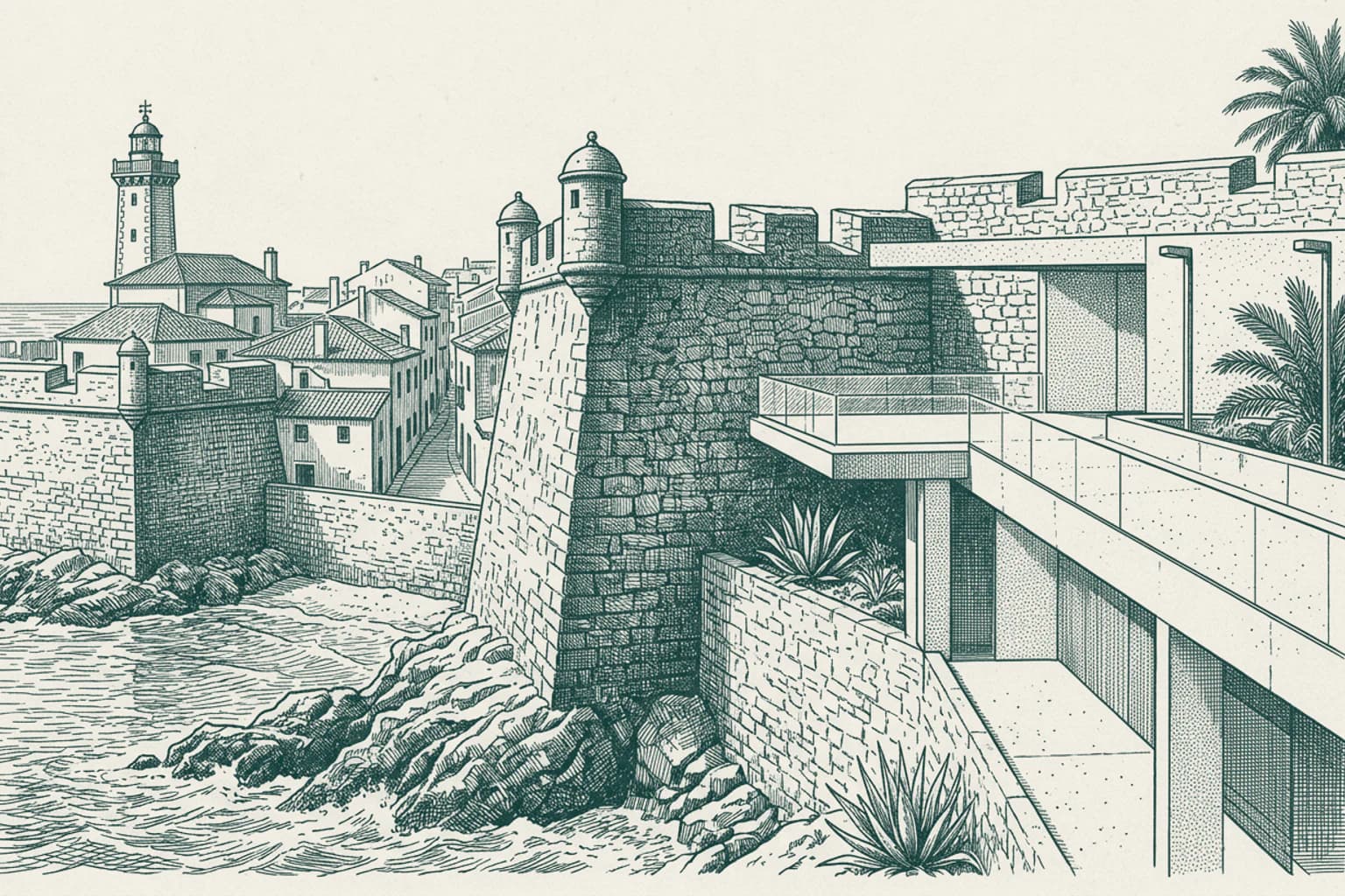
The strategic necessity that defined the early centuries began to yield to a different kind of ambition in 1862. It was in that year that the Visconde da Luz commissioned a summer house, marking a departure from the town's role as a mere military outpost or a collection of fishing huts. Along with a group of associates, he organized the construction of a new road connecting Cascais to Oeiras, creating a vital link to Lisbon that effectively ended the town's physical isolation. This infrastructure project acted as a catalyst, drawing the attention of King Luis I, who recognized the potential of the coastal air and the beauty of the Atlantic horizon. From 1870 until 1908, the Portuguese royal family from the House of Braganza-Saxe-Coburg and Gotha made the village their formal summer residence every September. This transition was immediate and profound. The quiet, salt-sprayed streets were soon transformed as the nobility followed the monarch, erecting impressive mansions in an eclectic style that would become known as summer architecture. Modernity arrived at a rapid pace under royal patronage; in 1878, the citadel was equipped with the country's first electric lights, and by 1889, the first railway line reached the town. The focus shifted from defense to discovery when King Carlos I, an avid maritime enthusiast, established the first oceanographic laboratory in the citadel in 1896. The King personally led twelve scientific expeditions along the coast, turning the focus of the region toward the depths of the Atlantic until his final voyage in 1908. As the nineteenth century closed, the town had successfully shed its skin as a garrison for the Tagus estuary, emerging instead as a cosmopolitan destination for the elite of Europe. The arrival of the royal court had set a precedent for a new identity, one defined by leisure and high society, yet the geopolitical shifts of the coming decades were already gathering force on the horizon, ready to test the stability of this newfound paradise as you continue your drive toward the very coast that once captivated kings.
- 0512:36
The Evolution of Cascais
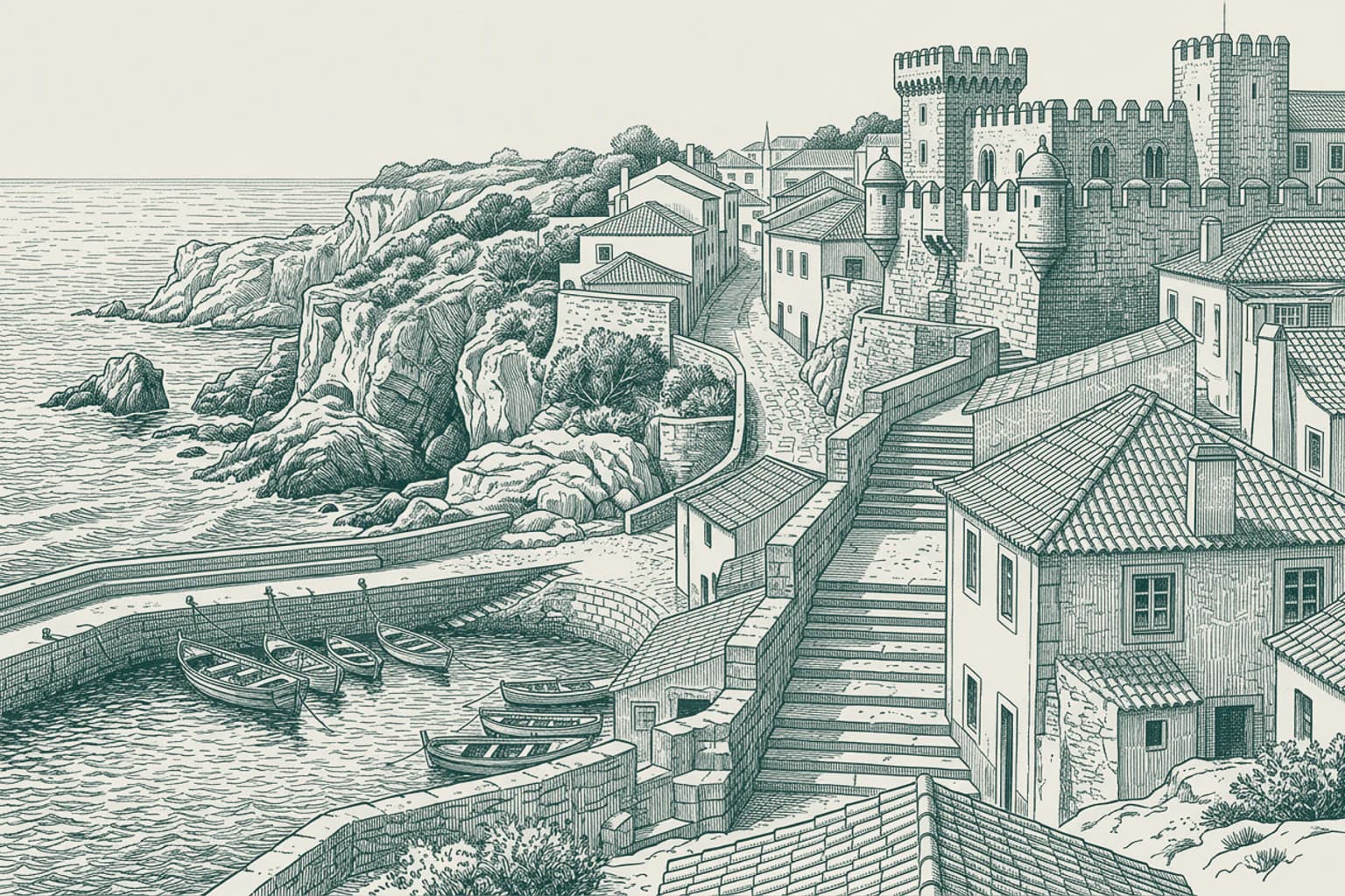
The neutrality of Portugal during the Second World War solidified the status of Cascais as a sanctuary for displaced European royalty. Figures such as King Edward VIII, the Duke of Windsor, King Juan Carlos I of Spain, and King Umberto II of Italy sought refuge in the quiet elegance of this coastal town, finding a rare stability in a world fractured by global conflict. This era transformed the municipality into a sophisticated enclave where the political histories of entire nations were discussed in private parlors. The local infrastructure, which had seen its first electric lights and oceanic laboratory in the late 19th century under King Luís I and King Carlos I, proved capable of supporting this influx of international influence. By the mid-20th century, the development of the nearby town of Estoril further cemented the region as a hub of luxury and intrigue. The Casino Estoril, with its atmosphere of high-stakes play and clandestine meetings, provided the inspiration for Ian Fleming to pen his first James Bond novel, Casino Royale. These events bridged the gap between the town's origins as a humble fishing port and its modern identity as a wealthy municipality on the Iberian Peninsula. Today, the area continues to balance its historical legacy with its role as a premier destination for global events. The Cascais Marina, situated along the shore of the historic citadel, regularly hosts prestigious competitions such as the America's Cup World Series, while the town of Estoril serves as a venue for significant international conferences like the Horasis Global Meeting. With a population exceeding 214,000 people, the region maintains one of the highest costs of living and real estate values in Portugal. The remnants of the past, from the Neolithic grottoes to the Renaissance citadel, exist alongside modern developments, reflecting a long process of adaptation. As you drive toward the coast, you are approaching the final destination of this route, where the waters of the Atlantic still strike the cliffs of Boca do Inferno just as they did when the first moving pictures were filmed there in 1896.
- 0612:39
The Ancient Stones of Guadalupe
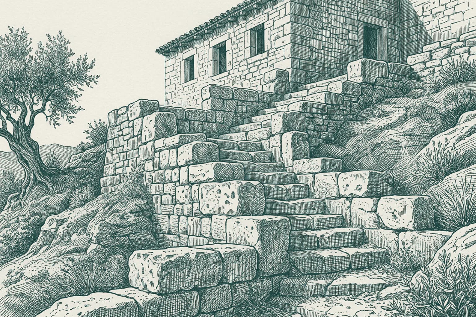
The Almendres Cromlech stands four and a half kilometers west-southwest of Nossa Senhora de Guadalupe, representing the largest group of structured menhirs on the Iberian Peninsula. People constructed this megalithic complex thousands of years ago as part of the broader megalithic universe of Evora. The site consists of a series of menhir stones arranged in deliberate formations that researchers continue to study to understand the social and ritual lives of the populations that inhabited this part of the Alentejo region. The builders selected specific stones and placed them in patterns that connect this location to other cromlechs found throughout the Evora District. Beyond the prehistoric significance of the cromlech, the civil parish of Nossa Senhora da Tourega e Nossa Senhora de Guadalupe also contains the ruins of the Castle of Geraldo. This medieval structure provides a physical record of the defensive strategies employed in the region during the Middle Ages. The presence of these two distinct sites, the prehistoric menhirs and the medieval castle, demonstrates the long span of human activity in this landscape. Historians and archaeologists analyze these remains to map the development of human settlements from the early megalithic periods through the fortification efforts of the medieval era. These structures remain under study as essential components of the cultural heritage of the Evora municipality. As you continue your journey away from this area, the history of these stone formations stays behind, marking the passage of those who lived here long before the modern roads were laid. It is time to move forward, leaving the quiet fields of Guadalupe to the weight of their own history. May the road ahead be clear and the rest of your travel bring you new discoveries.
- 07N Senhora de Guadalupe · 12:42
N Senhora de Guadalupe The Great Dolmen of Zambujeiro
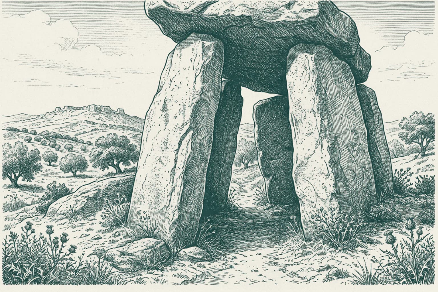
The Great Dolmen of Zambujeiro stands as one of the largest megalithic structures in the Iberian Peninsula. Constructed by Neolithic communities long before the medieval era, this structure utilized massive stone slabs to form a burial chamber and a long corridor. Archaeologists have examined these stone arrangements to understand the ritual practices of the people who inhabited this region thousands of years ago. The design demonstrates a sophisticated knowledge of engineering that allowed these heavy stones to remain stable through millennia. Nearby, the civil parish of Nossa Senhora da Tourega e Nossa Senhora de Guadalupe consolidates the land where these ancient markers reside. This monument represents a significant achievement in prehistoric architecture.
- 08Guadalupe, N Senhora de Guadalupe · 12:46
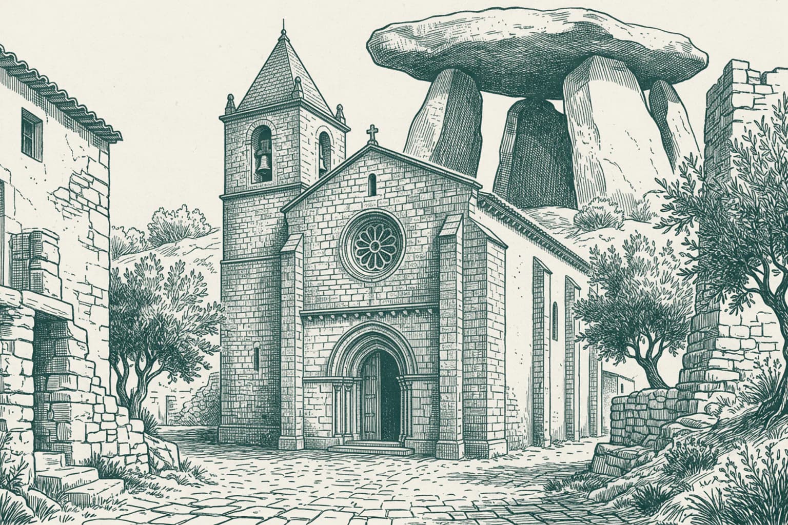
Guadalupe, N Senhora de Guadalupe Nossa Senhora de Guadalupe
Nossa Senhora de Guadalupe is part of a civil parish that spans over 263 square kilometers in the municipality of Evora. In 2013, the local administrative map shifted when the former parishes of Nossa Senhora da Tourega and Nossa Senhora de Guadalupe merged into a single entity. Census records from 2011 accounted for 1,151 residents across this area. Nearby stands the Igreja de Nossa Senhora da Boa Fe, which carries the official classification of a National Monument. This church represents a significant piece of the region's protected heritage, distinct from the prehistoric megalithic sites found in the surrounding landscape.
- 0912:48
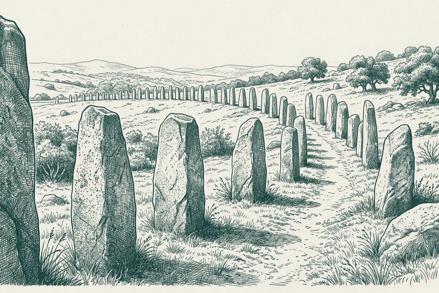
The Granite Builders of Vale Maria
It is a pleasure to find you traveling this path once again under the Alentejo sun. Beyond the standing stones themselves, there is a fascinating experiment that took place here in December 1995. A team led by Professor Manuel Calado gathered seventy volunteers to test how such massive granite monoliths were truly raised. Using only ropes, wooden logs, and collective human effort, they successfully lifted the heavy stones into their vertical positions. This project provided a tangible sense of the immense labor required by the Neolithic people in the fifth millennium BCE. The granite for these monuments was sourced from a specific outcrop located to the south of the site. Even today, the precision of the arch they created, spanning thirty-seven meters, demonstrates a sophisticated understanding of alignment. This remains a testament to the persistent physical work of those who shaped this landscape.
- 10N Senhora de Guadalupe · 12:51
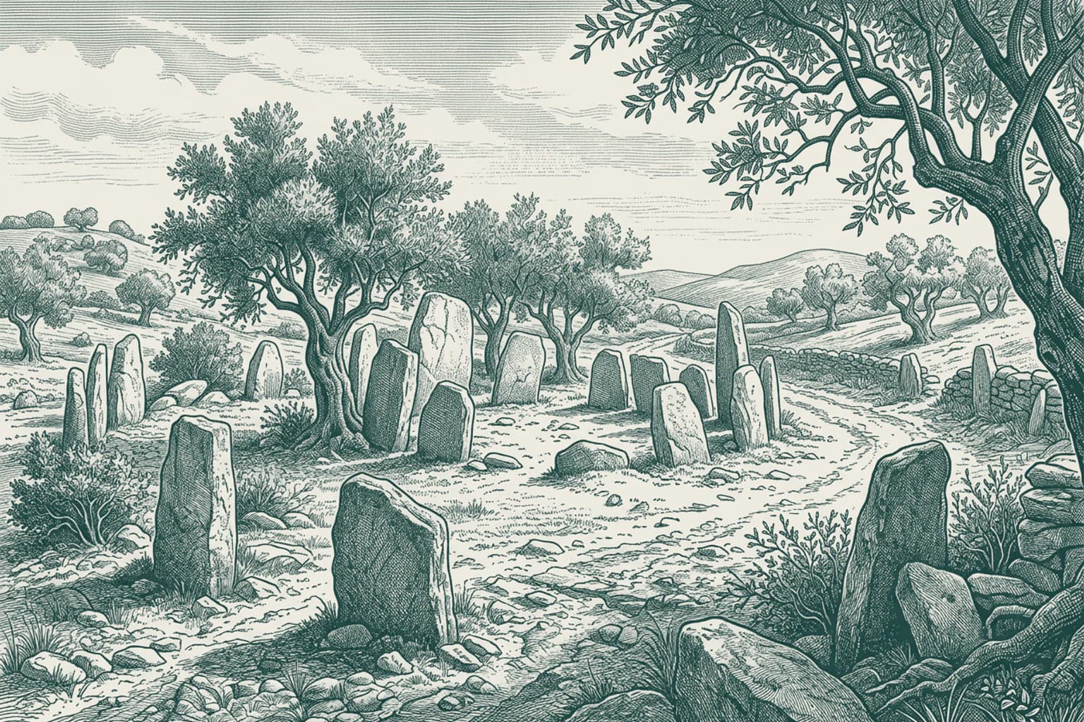
N Senhora de Guadalupe Megaliths near Nossa Senhora da Graça
Five millennia ago, people in the Évora district placed massive stone slabs to form the Portela de Mogos Cromlech. This circle of stones remains one of the primary megalithic monuments in the Alentejo region. Not far from this site, near the village of Nossa Senhora da Graça do Divor, lie the Antas da Valeira. These two dolmens are burial chambers located about one hundred meters apart in a farm field. Anta da Valeira 1 is positioned between two olive trees, showing a degraded polygonal chamber and the remains of an entrance corridor. These structures represent the broader tradition of megalithic construction found throughout the Évora area. Archaeologists have yet to conduct a formal study of these specific burial chambers, leaving them in their current state today.
- 1112:59
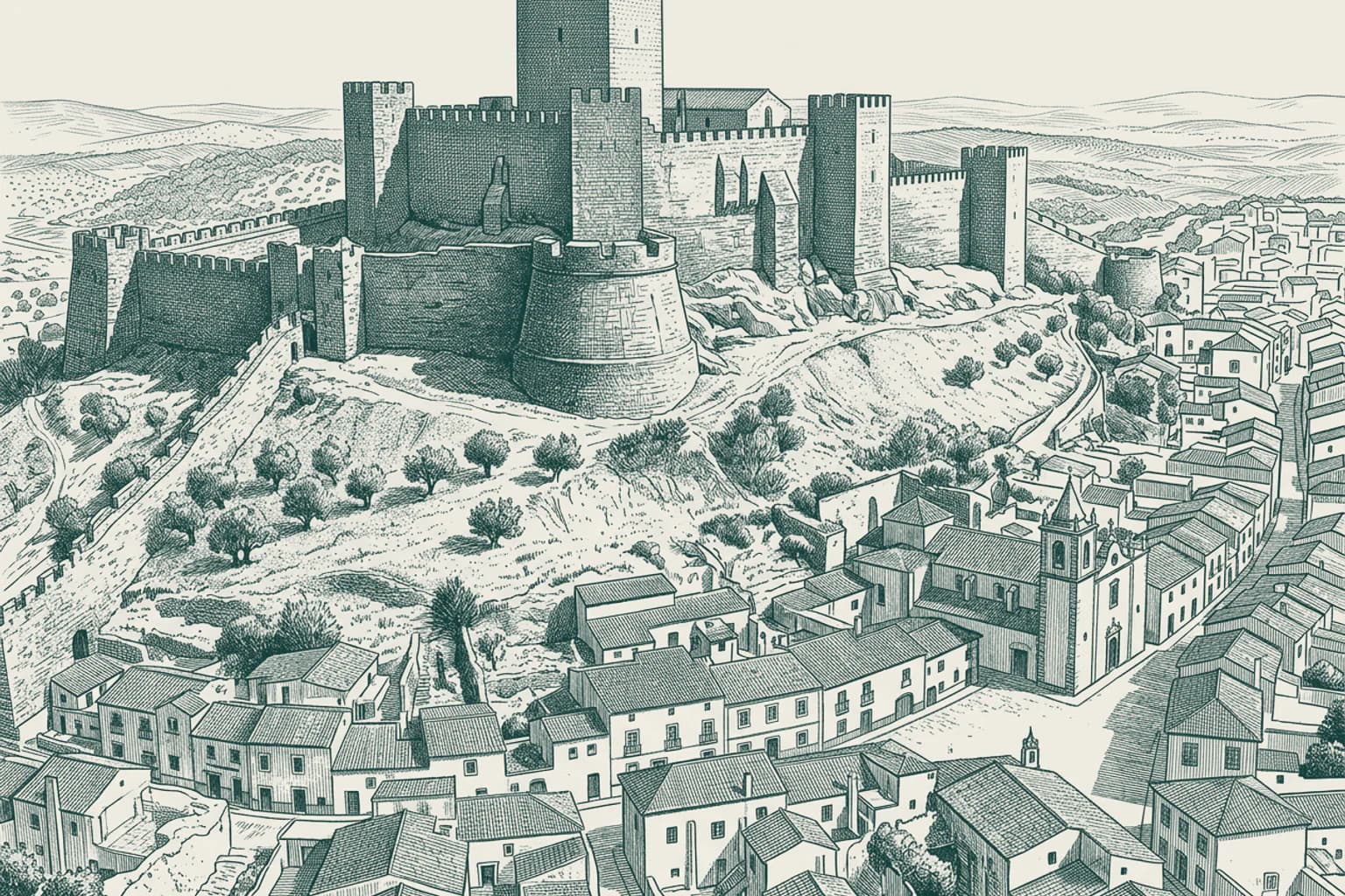
The Castle of Montemor-o-Novo
John of God, a man who became a revered saint, entered the world in Montemor-o-Novo during the 16th century. His birthplace remains a focal point for the local community, which marks the eighth of March every year to honor his legacy. Not far from where his childhood unfolded, the Castle of Montemor-o-Novo occupies a strategic ridge that has been utilized for defense since the era of Roman fortifications. While the Almohad Caliphate likely dismantled the earliest structures here, the site gained a formal charter in 1203, prompting a transformation into the stone stronghold seen today. Later rulers, including Denis of Portugal and the mayor Joao de Braganca, invested heavily in these walls to secure the territory. This site continues to stand as a significant national monument within the Alentejo landscape. The history of this place is defined by the resilience of the people who inhabited these high grounds.
- 12Vendas Novas · 13:07
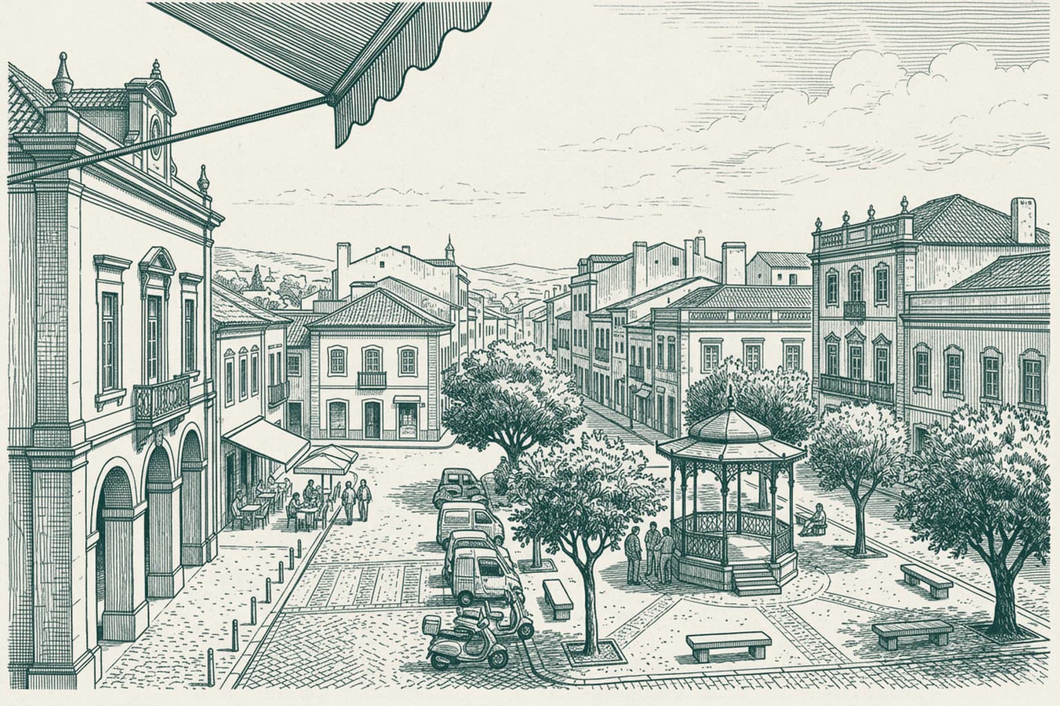
Vendas Novas The Settlement of Vendas Novas
September 7 marks the municipal holiday in Vendas Novas, a tradition that gathers the community of over eleven thousand residents. The name of this municipality originates from the concept of new stalls or trading posts that once emerged to serve travelers crossing the Alentejo region. Valentino Salgado Cunha currently serves as the mayor, overseeing an administrative area that spans over two hundred square kilometers. The growth of the town evolved from these early roadside outposts into the city that stands here today. Each year, the local population observes their holiday with gatherings that reflect the collective identity of this district in Évora. The history of the area remains tied to these early commercial foundations that defined the local geography for generations.
- 1313:15
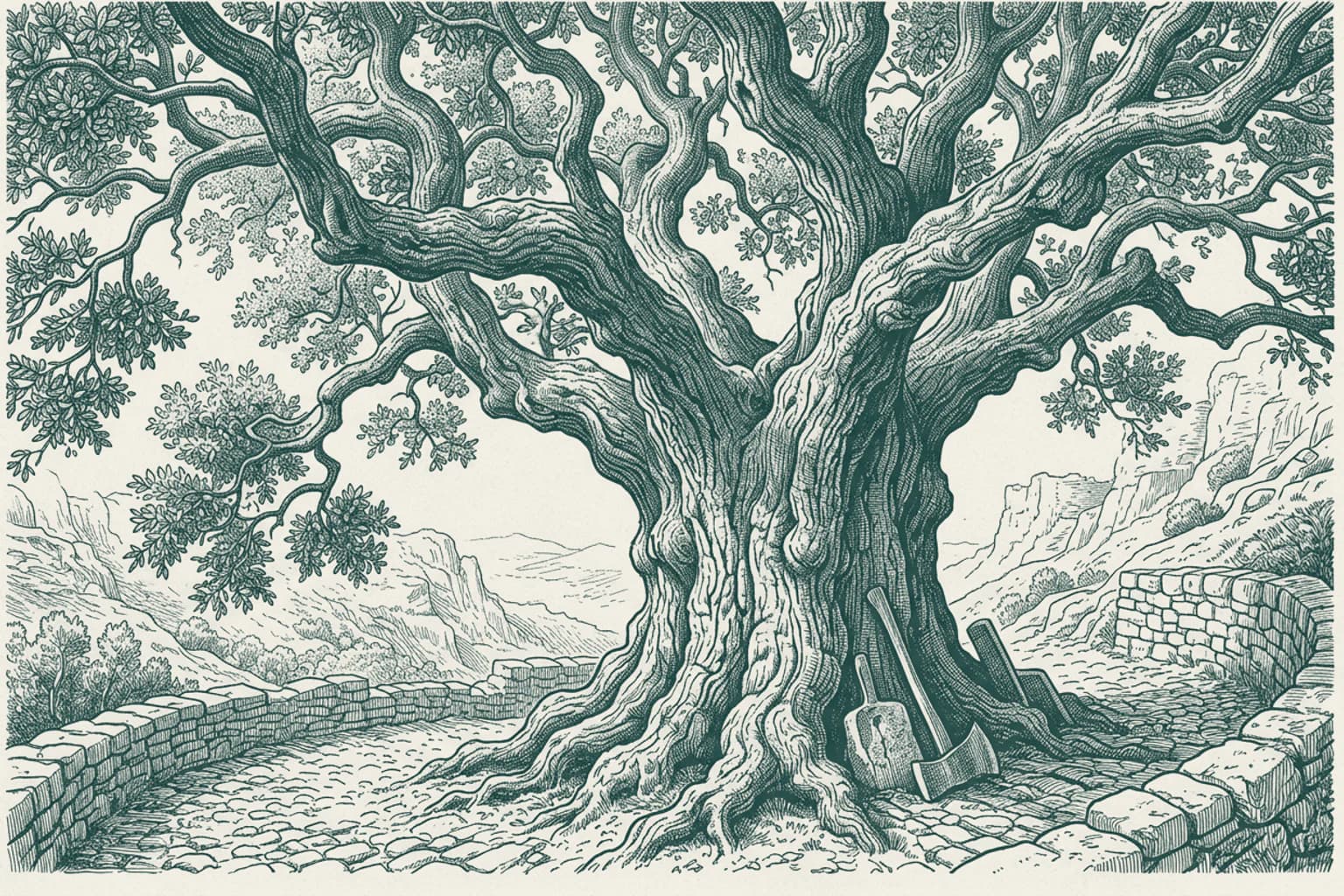
The Monumental Cork Oak
In 1783, during the reign of Queen Maria I, a cork oak was planted near the village of Aguas de Moura. This tree has reached a height of over 16 meters and possesses a trunk so wide that it requires at least three people to reach around it. Since 1820, workers have harvested its bark more than 20 times. In 1991, the tree produced over 1,200 kilograms of cork, which provided enough material for more than 100,000 wine stoppers in a single season. The Guinness Book of Records recognizes this specimen as the largest and oldest cork oak on the planet. In 2018, it received the title of European Tree of the Year, standing as a singular natural fixture in the landscape of the Palmela municipality.
- 14Palmela · 13:23
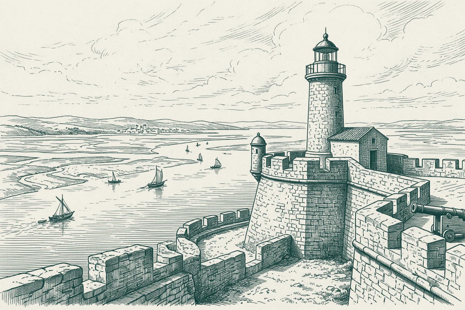
Palmela The Strategic Heights of Palmela
In 1582, King Philip II of Spain, who was also Philip I of Portugal, personally traveled to this location to oversee the laying of the cornerstone for the Fort of São Filipe. He chose this specific position on the right bank of the Sado River mouth to secure control over the maritime gateway. The design was entrusted to the architect Giovan Giacomo Paleari Fratino, while the Italian military engineer Filipe Terzi directed the construction efforts on site. This fortification was intended to guard the river access and keep a watchful eye over the surrounding territory during the period of the Iberian Union. The site remains a National Monument, defined by its tactical utility in commanding the estuary of the Sado and the surrounding Arrábida mountain range. It stands as a physical record of the military engineering priorities of the sixteenth century.
- 1513:29
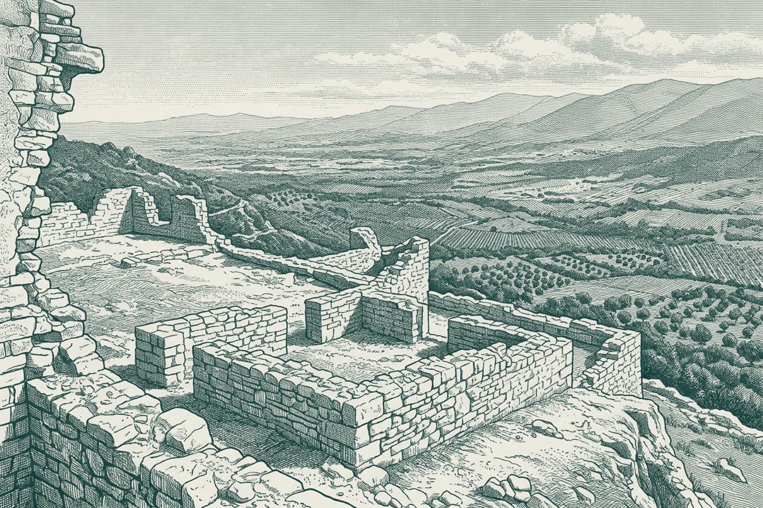
The Ancient Heights of Chibanes
Serra do Louro holds the remnants of the Castro of Chibanes, a hill fort that first saw human activity around 2900 BCE during the Copper Age. People chose this specific summit for its natural defenses, utilizing the sharp scarp to the south as a barrier against intruders. From this high point, inhabitants looked out over the surrounding landscape, maintaining a clear view toward the distant horizon where Lisbon would eventually rise. Today, the site is classified as a location of public interest, preserving the foundations of a settlement that thrived through early metallurgical innovations. The earth beneath these stone foundations reveals how early communities organized their lives on this elevated terrain long before the modern era.
- 1613:35
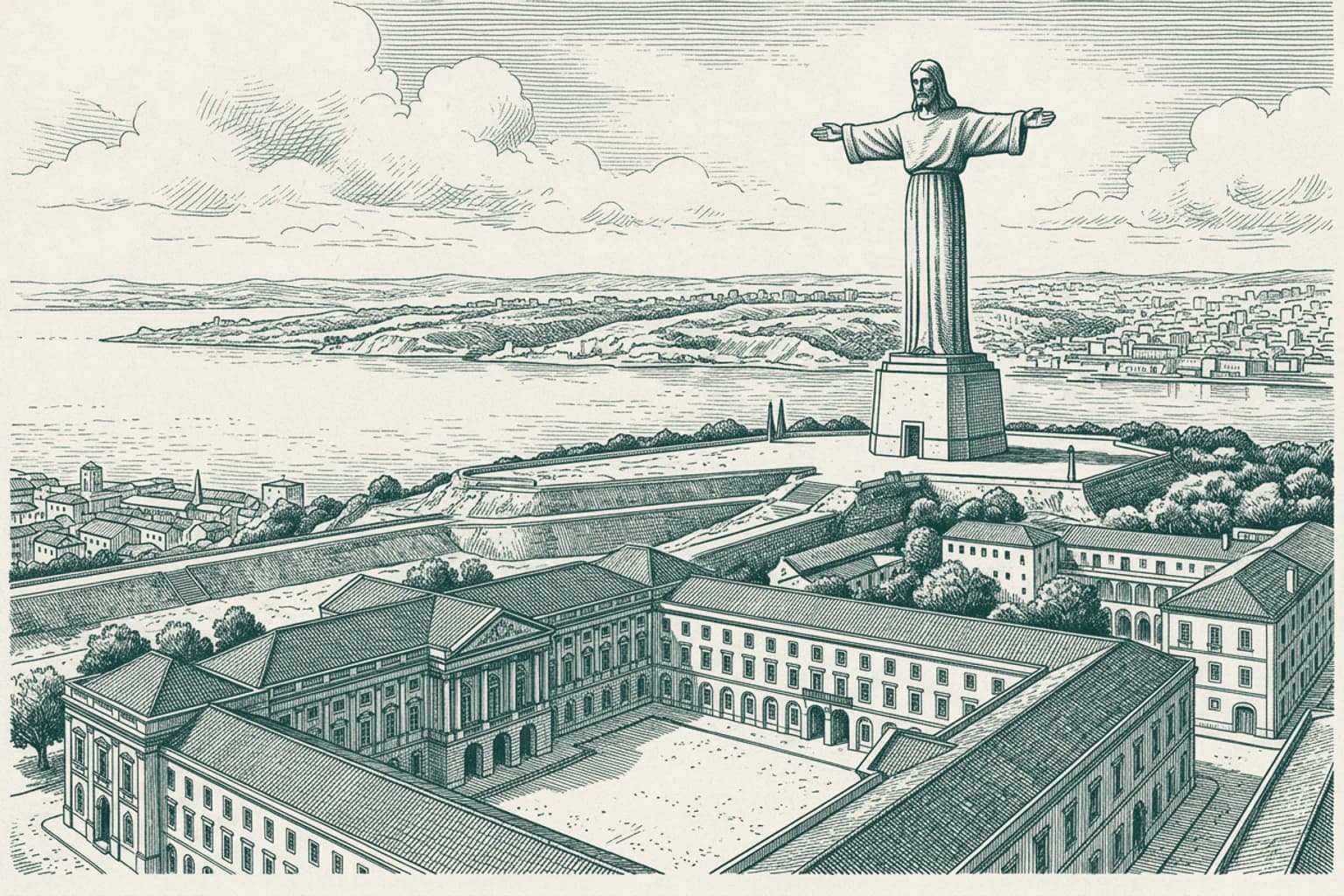
The Sanctuary of Christ the King
On May 17, 1959, the Sanctuary of Christ the King was officially inaugurated in Almada. This monument stands as a permanent expression of gratitude from the Portuguese people, who were spared the direct destructive effects of the Second World War. The project took its primary inspiration from the Christ the Redeemer statue in Rio de Janeiro after the Cardinal Patriarch of Lisbon visited that site in Brazil. Rising high above the southern bank of the Tagus River, the structure serves as a shrine dedicated to the Sacred Heart of Jesus. It remains a distinct landmark overlooking the capital city across the water.
- 1713:39
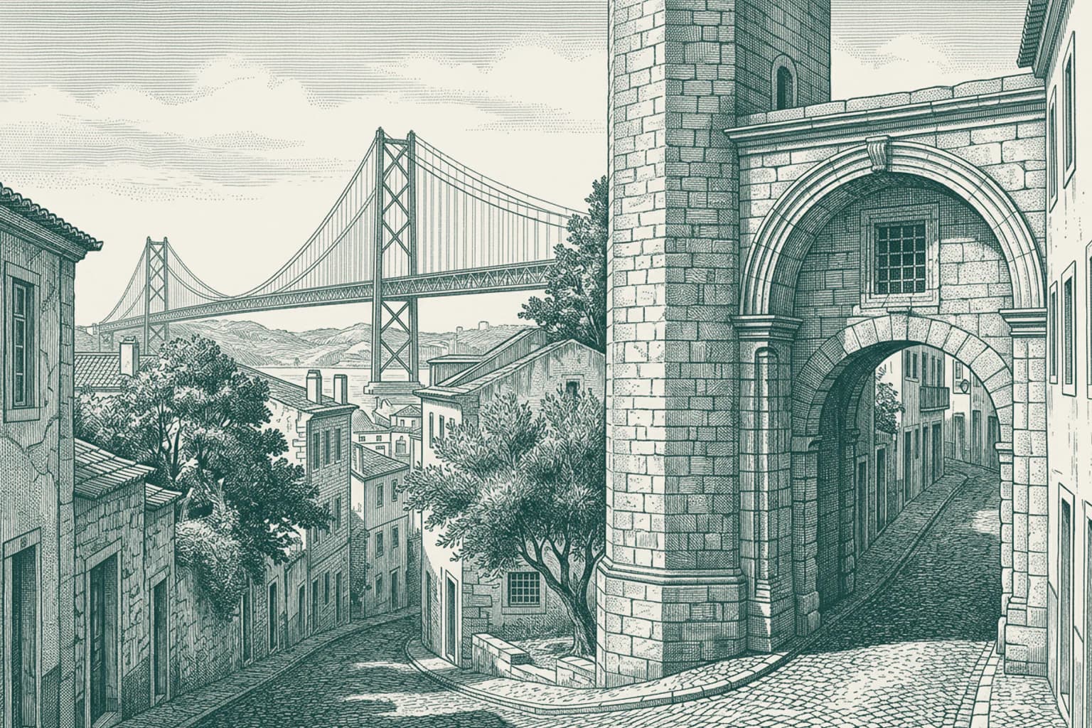
The Decree of 1686
In the year 1686, a royal decree fundamentally altered the traffic flow near the Salvador gate. His Majesty issued a formal order requiring all carriages, chaises, and litters arriving from that specific entrance to reverse their course and return along the same street. This administrative command sought to manage the congestion of horse-drawn vehicles that struggled to navigate the narrow passage. It remains a precise record of how daily movement was governed in the capital long before the modern infrastructure took its current shape.
- 1813:41
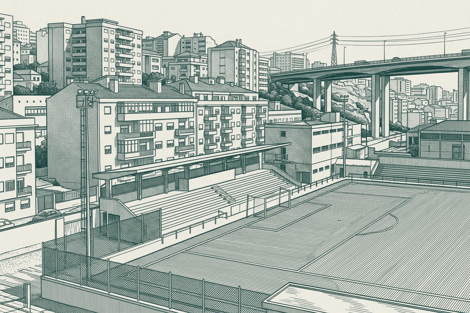
Almada and the Pragal Fields
Almada Atlético Clube established its home base at the Campo de Jogos do Pragal, serving as a focal point for local sports activity in this district. This area, known historically as Pragal, functioned as a distinct civil parish until the administrative reorganization that took place in 2013. The geography here is defined by its proximity to the Tagus river and the structural engineering of the 25 de Abril Bridge. Over 49,000 residents now live within the consolidated parish of Almada, Cova da Piedade, Pragal e Cacilhas, sharing a common municipal identity shaped by these urban developments. The local landscape remains defined by the daily movement of people across these interconnected neighborhoods.
- 1913:45
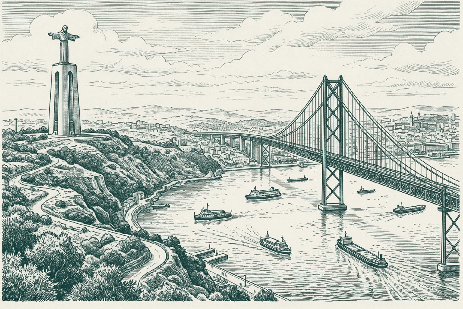
The Tagus River Crossing
The Tagus river has long defined the rhythm of life for those living along these banks. Before the modern bridge provided a constant link to the capital, the local population relied entirely on ferry crossings to navigate the waters between Pragal and the northern shore. These boatmen were essential figures in the daily routine of the region, transporting thousands of workers and goods across the currents long before the current infrastructure was conceived. Their steady work maintained the connection between the southern municipalities and the heart of Lisbon for generations. The river remains a primary feature of the landscape, dictating the flow of movement and the development of the entire metropolitan area.
- 2013:49
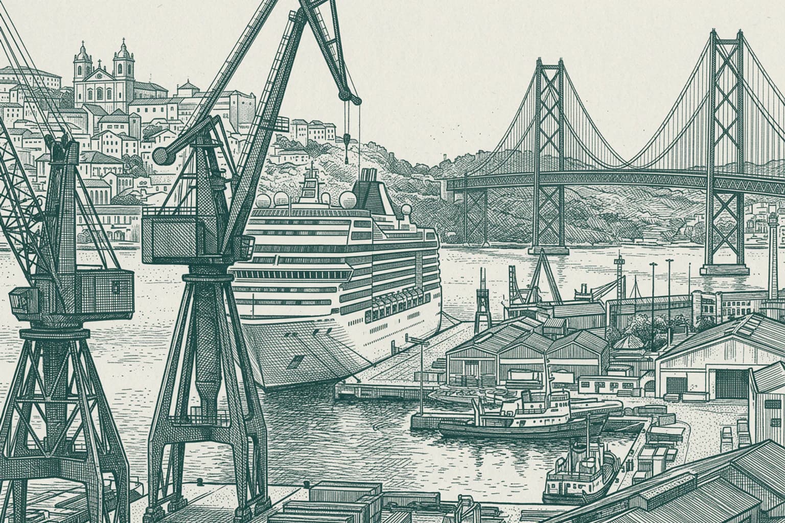
The Port of Lisbon
The Port of Lisbon serves as a vital gateway between the Atlantic Ocean and the lands of Europe and Africa. This natural harbour, carved by the Tagus river, has long facilitated the movement of goods and people through a narrow strait. Today, the infrastructure includes a 1080-metre mooring area equipped with cranes dedicated to container ships, positioned just north-east of the Ponte 25 de Abril suspension bridge. Beyond its industrial capacity, the area supports a pleasure boat marina and specialized terminals for cruise ships along the northern bank. These facilities anchor the maritime identity of the Portuguese capital, maintaining a constant flow of vessels that connect the city to the wider world. The modern layout of the port reflects the ongoing necessity of maritime trade for the region.
- 2113:53
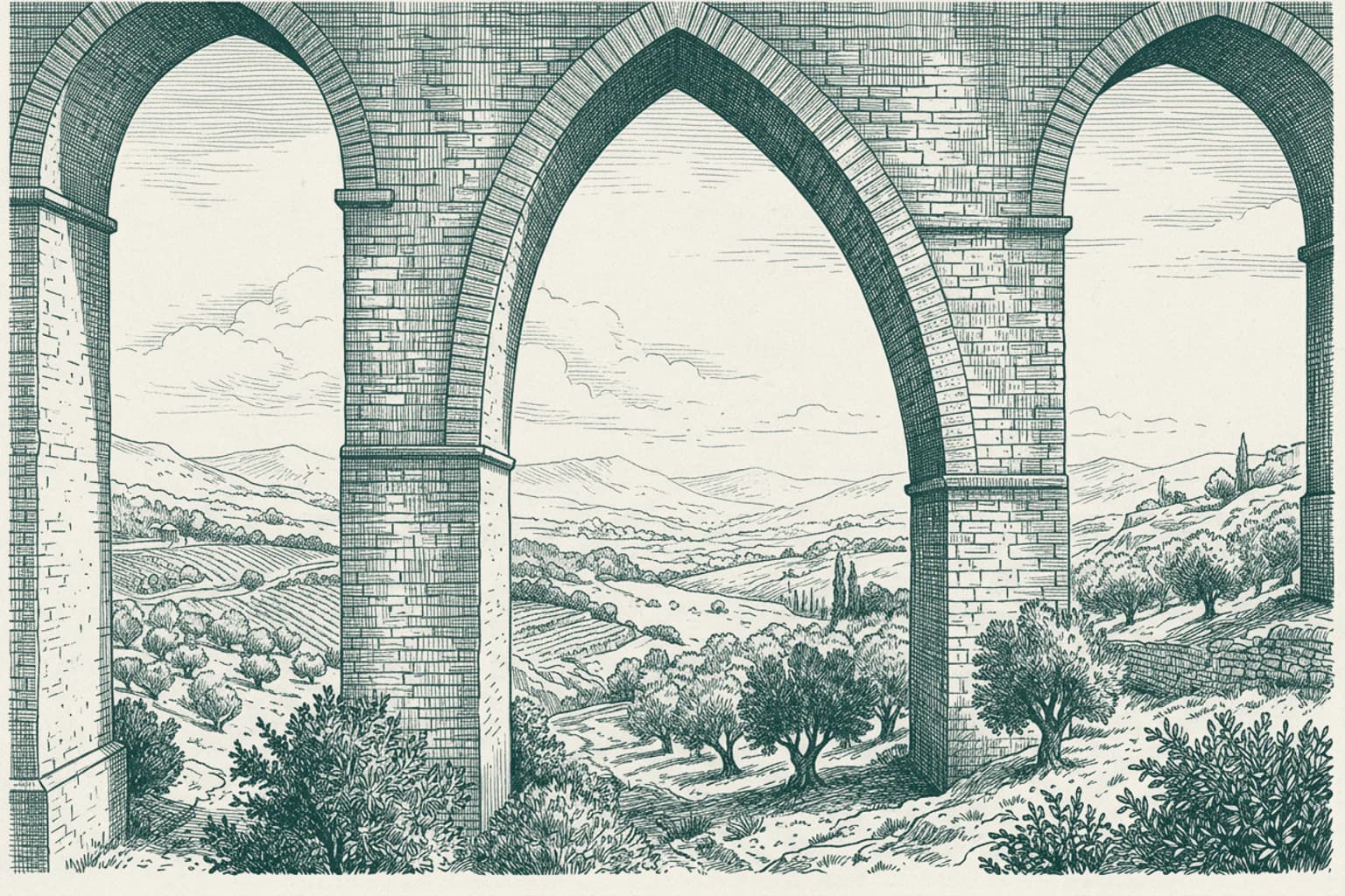
The Engineering of Free Waters
King John V commissioned the Águas Livres Aqueduct in the early 18th century to secure a reliable water supply for Lisbon. This massive undertaking resulted in a network of canals, galleries, and reservoirs spanning nearly 58 kilometres. The structure is defined by its monumental arcade crossing the Alcântara valley, which features the Arco Grande. This specific masonry arch stands among the tallest pointed arches constructed for water transport anywhere in the world. The engineering required to maintain the flow across such diverse terrain remains a significant technical achievement from that period. It serves as a primary example of how 18th-century infrastructure transformed the urban capacity of the capital.
- 22Paço de Arcos · 13:59
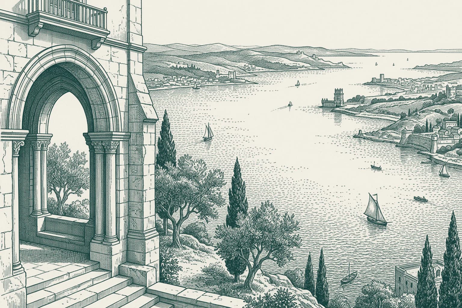
Paço de Arcos The Royal View at Paço de Arcos
King Manuel I once stood at the entrance of what is now known as the Palácio dos Arcos. From this specific vantage point, he watched the departure of Vasco da Gama’s caravels as they began their historic expedition toward India. The village derived its name from this very palace, which served as a focal point for the maritime ambitions of the Portuguese crown. Today, the location hosts the Escola Náutica Infante D. Henrique, continuing the long tradition of maritime education in this area. It remains a place where the connection between the land and the vast Atlantic was firmly established by royal observation. The site persists as a reminder of the era when these shores were the final sight for explorers heading into unknown waters.
- 2314:02
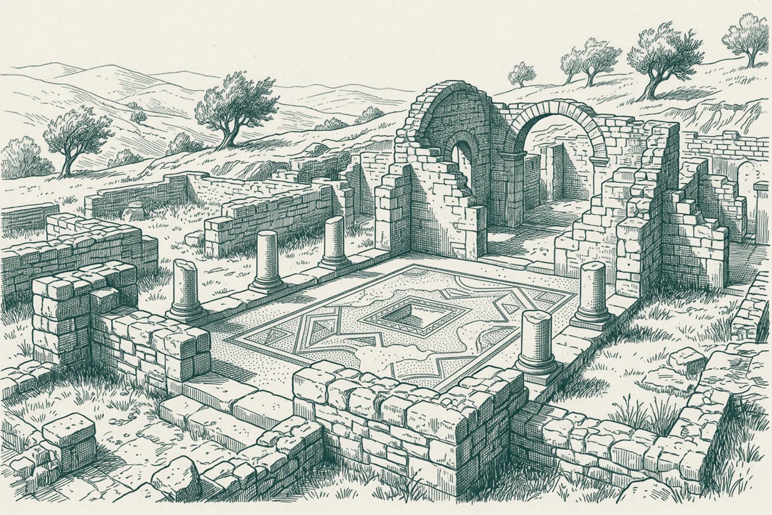
Roman Legacy in São Domingos de Rana
Between the first and sixth centuries AD, residents of this area lived within the walls of the Roman villa of Outeiro de Polima. These inhabitants managed a complex agricultural and domestic estate long before the modern administrative parish of São Domingos de Rana took shape. While the landscape now supports a population of over fifty-seven thousand people across diverse localities like Tires and Trajouce, the archaeological record confirms that this specific ground sustained a thriving villa economy for half a millennium. The layout of these ancient rooms provides a clear picture of how people organized their lives near the coast during the Roman era. Today, the area continues to be a site of ongoing discovery, revealing the daily habits of those who occupied these lands centuries ago.
- 24Cascais · 14:08
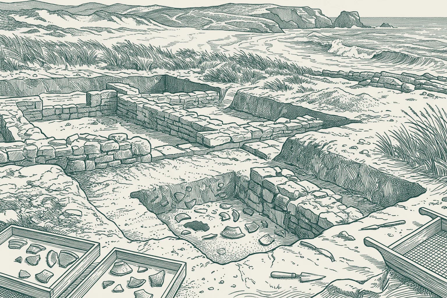
Cascais The Ruins of Vilares
Archaeologists discovered the Roman ruins of Vilares in the early 21st century while preparing the ground for residential development in the parish of Alcabideche. Excavations revealed remnants of a villa alongside clear evidence of a necropolis. The artifacts found at this site, including terra sigillata pottery and imbrices roofing tiles, indicate that people occupied this land continuously from the Iron Age through the period of Moorish intervention. This specific location provides a glimpse into the long duration of human settlement in the Cascais municipality. The site remains a point of interest for understanding how communities transitioned through different historical eras in this region.
- 25Cascais · 14:12
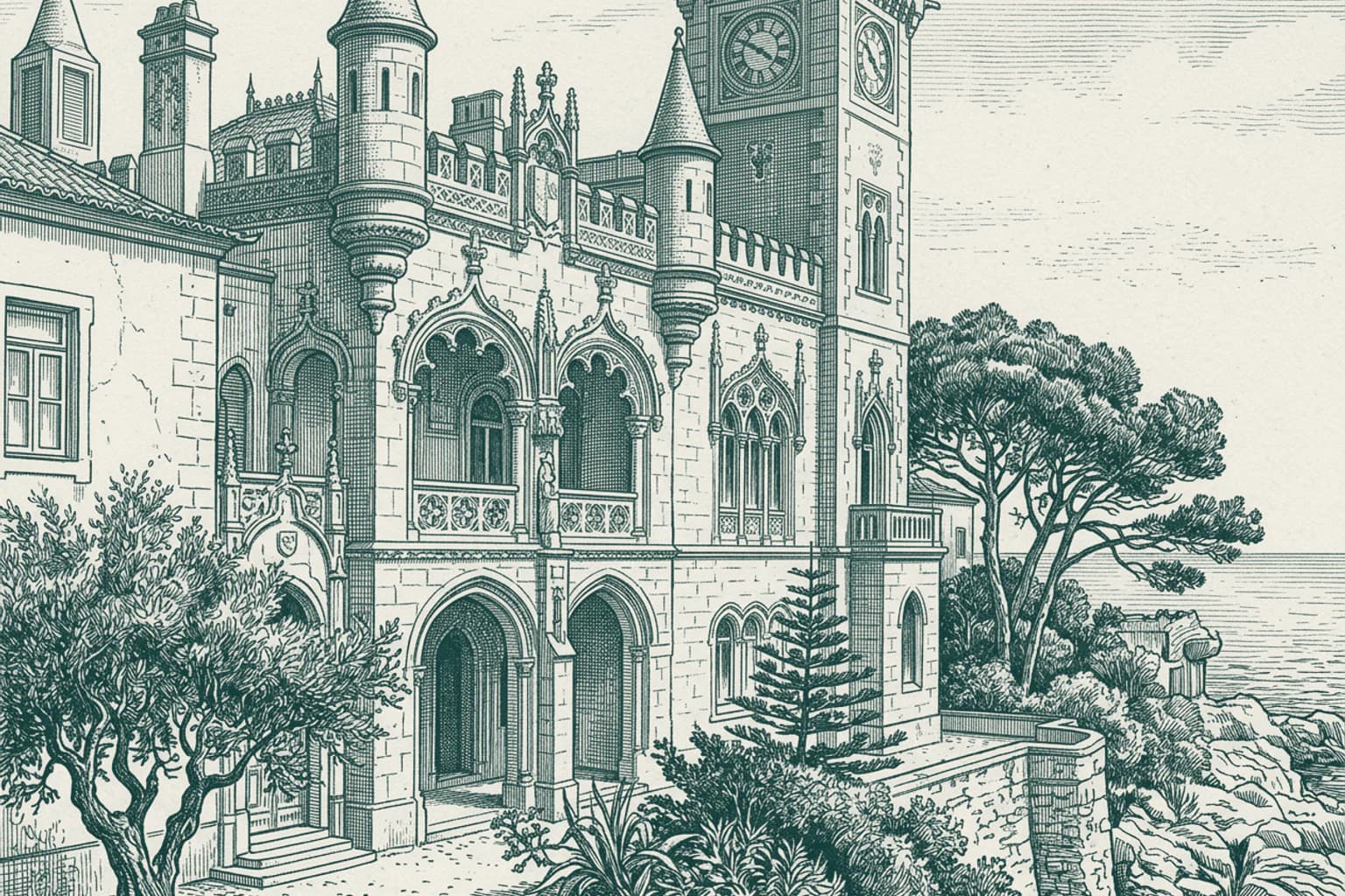
Cascais The Royal Summer Retreat of Cascais
King Luís I transformed the character of this seaside town starting in the 1870s. By choosing to reside here every September, the monarch drew the Portuguese nobility to the coast, establishing a vibrant summer community that fundamentally shifted the town from a local fishing settlement to a premier resort. This royal presence left a lasting mark on the local architecture, including the Torre de São Sebastião, which was constructed in 1900 as an aristocrat's summer residence and later became a museum. Even the oldest structures, like the Church of Nossa Senhora da Assunção, reflect the long-standing significance of the area, appearing clearly in engravings from 1572. Today, the town continues to balance these historical foundations with its role as a destination for major international events.
- 26Cascais · 14:14
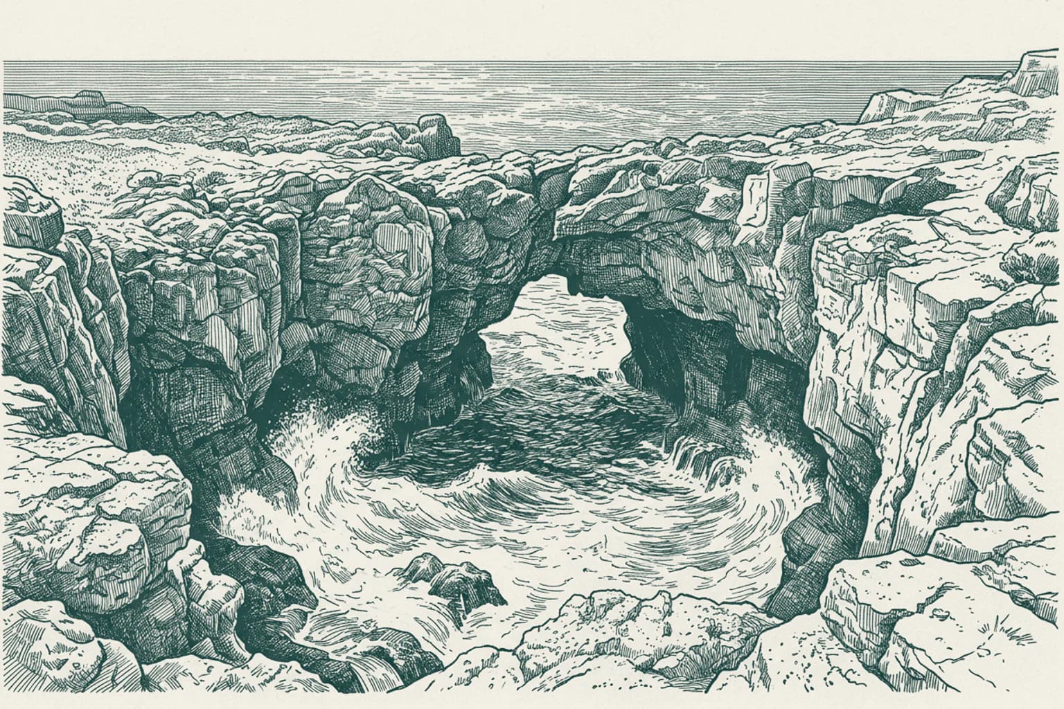
Cascais The Chasm of Boca do Inferno
Boca do Inferno, or the mouth of hell, marks the rugged coastline near Cascais where the Atlantic Ocean forces its way into a deep coastal chasm. The power of the seawater striking the rocky walls here drew international attention as early as 1896. In that year, the site was chosen for one of the first moving pictures ever filmed, a British production titled A Sea Cave Near Lisbon. The film captured the constant motion of the waves breaking against the stone, documenting the raw force of the water that continues to shape the cliffs today. Beyond the geological drama, the town has long focused its identity on the maritime connection, further established in 1992 with the opening of the King D. Carlos Sea Museum. This museum documents the enduring relationship between the local fishing community and the unpredictable waters that define this stretch of the coast.